
LANSING, Mich. — A Frost Advisory remains in effect for Clinton and Eaton counties Thursday morning through 9 AM now that showers have cleared the area. With clear skies and calm winds and temperatures in the 30's, frost development remains possible.
Better chances for wider coverage of frost and a possible freeze occur overnight tonight with air temperatures dropping close to freezing.

WATCH THE FULL FORECAST BELOW
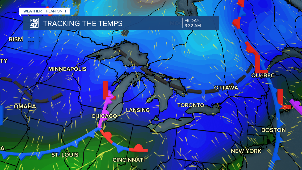
We are still tracking mostly cloudy skies today, but with influence from a ridging pattern, the late morning hours could bring some sunshine to our neighborhoods and peaks of sunshine could continue into the afternoon due to the return of dry air that will keep any showers that develop today light and no too impactful.

Overnight and into Friday morning, our next low will bring an occluded front across our neighborhoods. Showers will be mainly focused to the south with areas along and south of I-94 possibly seeing some more showers through the morning hours. Continued showers and cloud cover across our neighborhoods could hinder frost development, but temperatures ranging in the mid to lower 30's tonight could already create issues for our blossoming plants and crops.
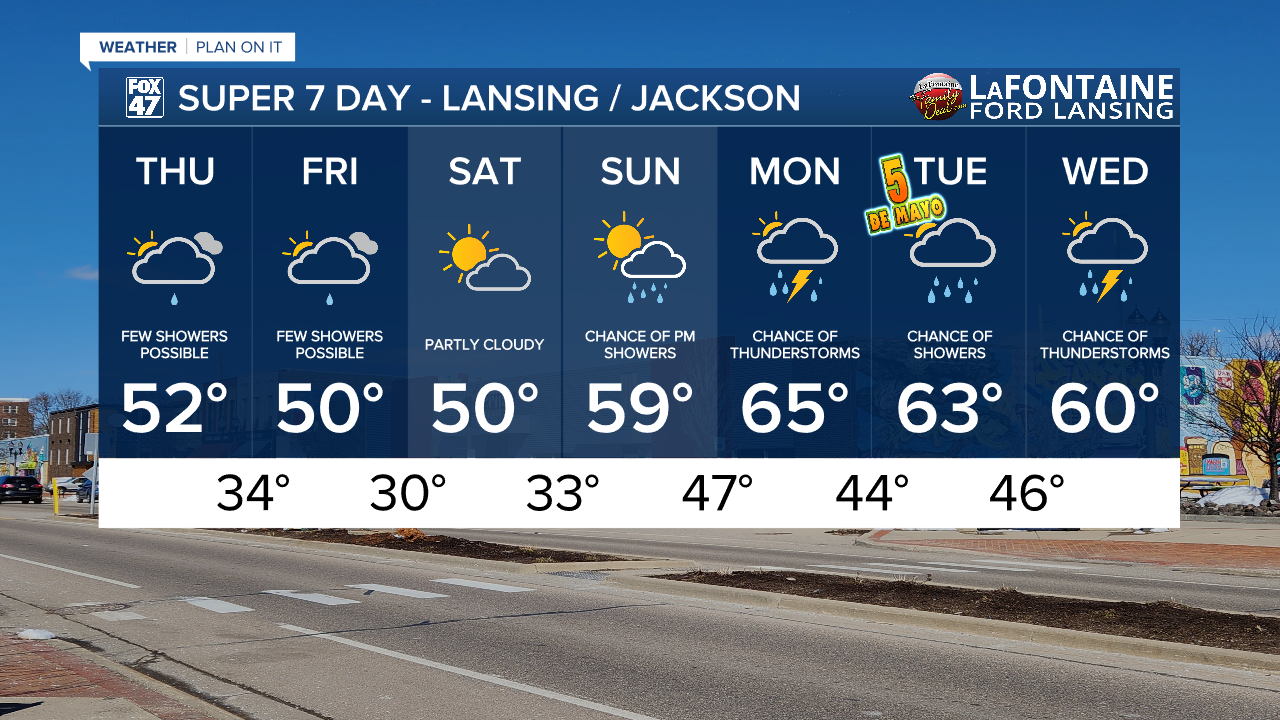
Make sure to cover up plants or bring them inside tonight and make sure to do the same until Sunday morning before we start warming again. Winds will remain weak into Friday morning and Saturday morning. This is a favorable condition for frost development. At the moment, Saturday morning could bring below freezing temperatures and best conditions for frost.

We will begin to warm late in the weekend with returning chances for showers and storms. Storm potential primarily lies on Monday and Wednesday with highs temperatures warming closer to normal in the mid to lower 60's.
Have a great weather picture or video to share? Send it our way and we may feature it on-air or online!

