
LANSING, Mich. — We're on the road in Eaton Rapids today for the Urban Air event. We can expect pleasant conditions, especially compared to the past couple of days. Highs will reach the mid to lower 60's with partly cloudy skies into the afternoon hours. This will be for neighborhoods north of I-94.

WATCH THE FULL FORECAST
For neighborhoods south of I-94 like southern Jackson County and Hillsdale, you can expect a bit more cloud cover today as well as a possible early to mid afternoon shower with no major impacts.

We should dry up with clear skies heading into the weekend with weaker winds today with gusts up to 20 mph across all neighborhoods.
Our weekend brings chances for storms as well as a cool down.

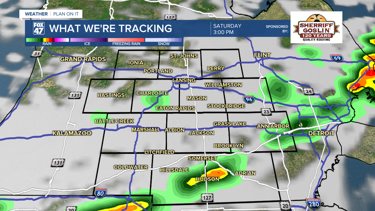
Temperatures continue to warm into Saturday with highs near normal in the mid to upper 60's. However, an area of low pressure affiliated with a sweeping cold front will drive potential storms during the mid to late afternoon hours. We could also see some tame showers, widely scattered, during the AM hours Saturday with no major impacts. No washout is expected, but winds will strengthen with gusts possibly exceeding 30 mph at times.

Once the cold front advances through, temperatures will cool for Mother's Day. We can expect highs in the upper 50's. The good news is we are tracking dry conditions with partly cloudy skies and opportunity to see some sunshine. Wind gusts out of the northwest could gust up to 25 mph with feels like temps in the lower 50's. You might need a jacket for any Mother's Day plans.
We have potential to see warmer temperatures return to our neighborhoods and stick around during mid to late May. We have another warm up on the way into late next week with shower chances returning Tuesday and Wednesday.
During the cooler portion of the week, lows will cool into the mid to upper 30's where we will track potential frost development. Don't put away that winter jacket just yet.

Have a great weather picture or video to share? Send it our way and we may feature it on-air or online!

