
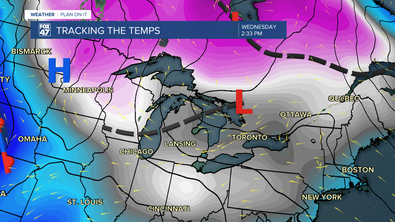
LANSING, Mich. — Across our neighborhoods this morning, we can expect light snow showers as a shortwave advances through the state this morning. Accumulations should remain light through the morning hours, however additional accumulations can lead to more travel hazards such as limited visibility and possible slick spots.

As we hang onto the influence of this passing low pressure system, winds turning out of the northwest will allow for potential flakes through Thursday with gradually waning impacts and snow totals.
WATCH THE FULL FORECAST BELOW
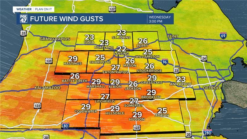
Wind gusts this afternoon could reach 30 mph allowing for feels like temperatures to hover around zero degrees. Make sure to bundle up when heading out the door, however, dangerous cold is not expected today.
With winds turning out of the north, however, temperatures will fall as we dry up. Overnight lows Thursday into Friday will drop below zero degrees and possibly reach 5 below. This is actually a bit warmer than what we've been forecasting for the past couple of days. With weak winds possible, dangerous wind chills could be a little warmer than originally expected. However, we will be monitoring closely as temps below zero degrees will continue in the overnight hours as we enter the weekend.
Variably cloudy skies are favored for Thursday with a small chance to see a few flurries as winds veer out of the north. This shift in winds will keep lake effect off to the lake shore communities leaving our neighborhoods dry for Friday and through the weekend with partly cloudy skies.
Snow showers look to return Monday as temperatures during the day will gradually warm back to the mid to lower 20's. All of these temperatures are still below average for this time of year.

Want more FOX 47 News? Here's how you download our Roku app
You can also see the latest news from across our mid-Michigan neighborhoods by liking us on Facebook or following us on X.
