
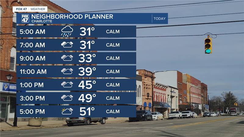
LANSING, Mich. — Temperatures continue to rise as we head into the back half of the week across Mid-Michigan. Winds weaken today compared to the last couple of days with feels like temperatures not expected to be impacted. Daytime highs today will reach the upper 40's and potentially reach the lower 50's for most of our neighborhoods. We will see these warmer temperatures late in the afternoon today along with some potential clearing around 7 PM.
WATCH THE FULL FORECAST BELOW
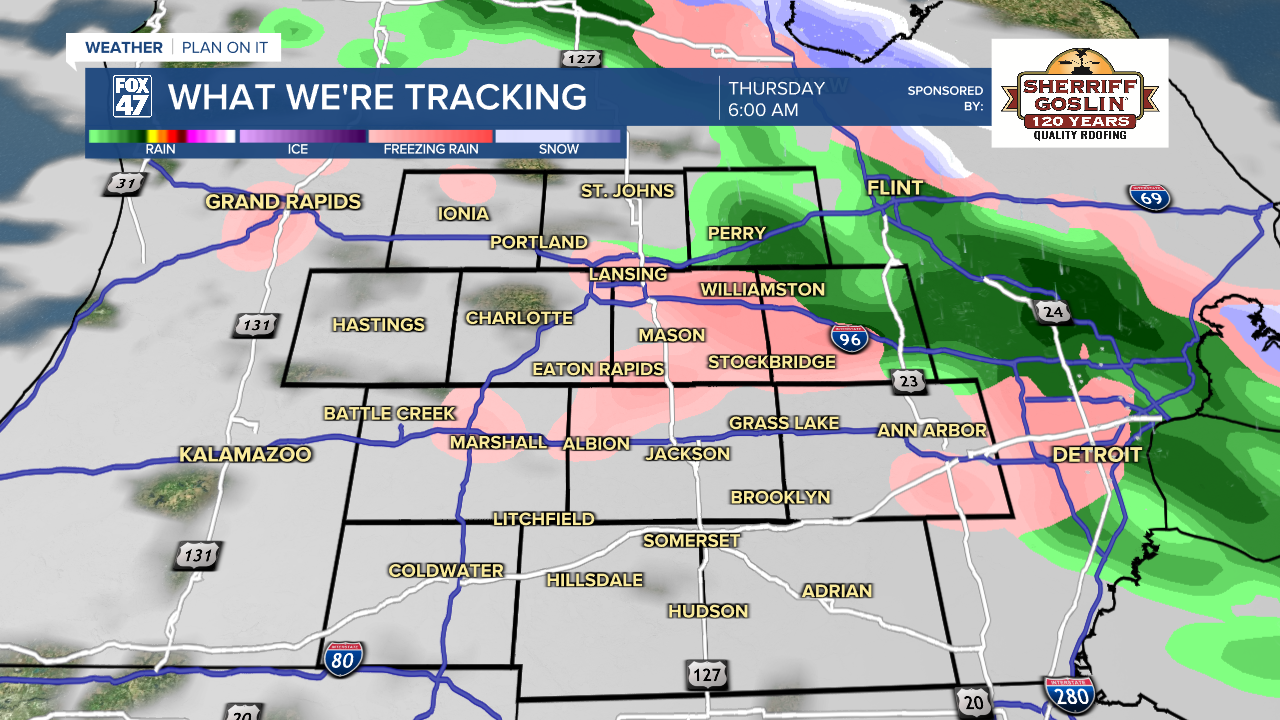
Mixed precipitation during the morning hours could lead to slick spots on roadways Thursday morning. Make sure to stay weather aware as ice will be hard to see on roadways. Elevated surfaces and bridges are prone to freeze first while scattered ice on roadways remains possible.
Once the sun rises and temperatures gradually warm, this ice should melt on our roadways allowing for safer travel conditions for the afternoon and evening commutes.
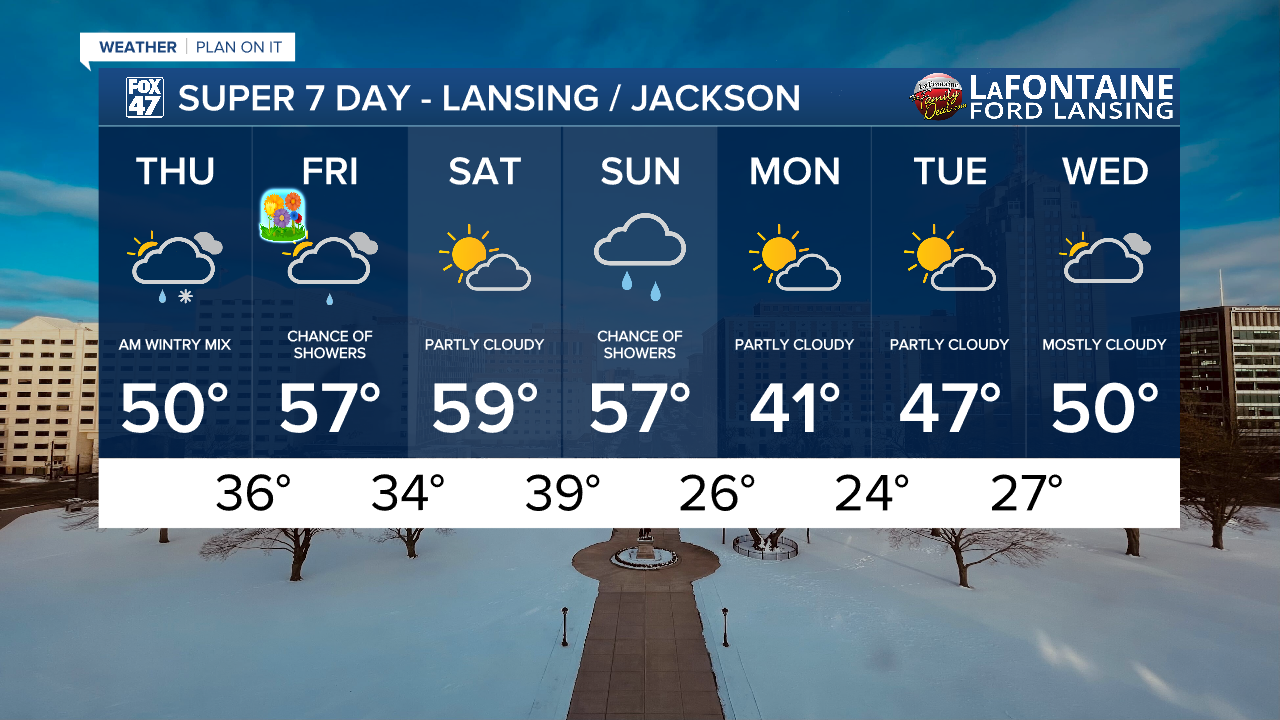
We will dry up and be left with cloudy skies into the afternoon hours. Some potential clearing could take place late today around 7 PM as more clouds will filter in overnight tonight. Chances for showers Friday lies further north of our neighborhoods during the AM hours, but a stray shower could develop, especially for northern neighborhoods. However, no major impacts are expected. Stray shower chances exist into the afternoon with plenty of clouds.

We usher in Astronomical Spring on Friday with continued warming temperatures into the upper 50's. We will hold onto this trend into Saturday with a pleasant spring day expected with partly cloudy skies. A chance for showers exists still Sunday with a focus more on rain showers as temperatures have warmed a bit for Sunday into the upper 50's. We will cool down for the new week with highs in the lower 40's on Monday with a returning chance for mixed precipitation Wednesday.
It is still Severe Weather Awareness Week across the state of Michigan and it has already been a month filled with observed and confirmed severe impacts including tornadoes, large hail, damaging winds, and flooding.
Today, we are talking about what to do if you are ever caught in a tornado warning while driving.
Want more FOX 47 News? Here's how you download our Roku app
You can also see the latest news from across our mid-Michigan neighborhoods by liking us on Facebook or following us on X.
