
LANSING, Mich. — More sunshine is expected in our neighborhoods today. However, these mostly sunny conditions will be coming to an end as a slow moving cold front will drive showers and storms in our neighborhoods Wednesday.
Today, winds out of the southwest will strengthen. This will allow our temperatures to warm into the 80's today. This is well above average for this time of year.

These strong winds are looking to gust up to 30 mph today while also transporting moisture into our neighborhoods. Dew points are looking to rise into the 60's today. This means we'll be stepping out the door to some humid conditions today which might make it a bit uncomfortable.

WATCH THE FULL FORECAST BELOW
Our air quality continues to range Moderate for the day as surface level Canadian wildfire smoke improves. Upper level smoke remains allowing for some hazy skies today. Cloud cover will make its way into our neighborhoods later Tuesday evening ahead of the slow moving cold front.
We can expect to see showers as early as Wednesday morning with storms expected to move through in the early to mid afternoon hours and continue into the evening hours. All of our neighborhoods are under a Marginal Risk for severe weather Wednesday with main threats including damaging winds and possible hail.

Another impact we could see comes from the amount of rain falling. Due to the front moving slowly across our neighborhoods. Heavy rainfall could lead to some flooding concerns. All of our neighborhoods are under a Marginal Risk for excessive rainfall Wednesday into Thursday AM.
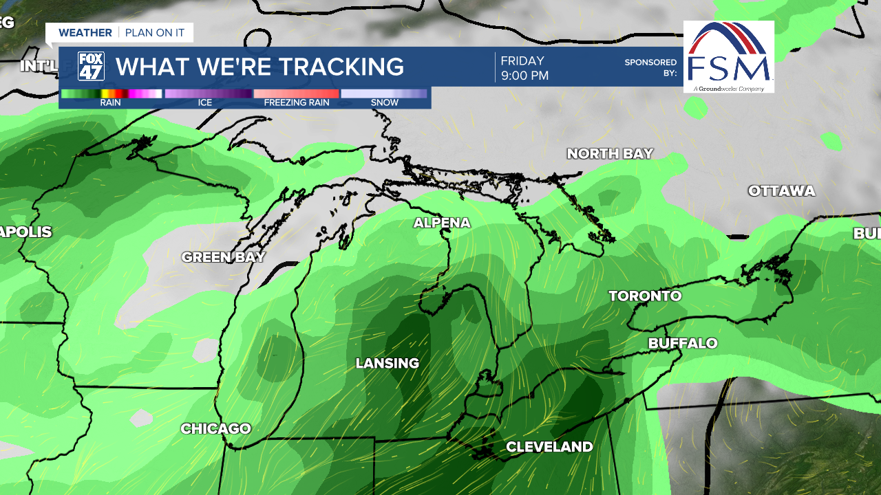
Showers could continue into the Thursday morning hours as we turn our attention to Friday. A shortwave is looking to drive more shower and storm potential Friday evening. However, we could still see some changes to this forecast if high pressure sticks around from Thursday. We will be watching closely. At the moment, there is not severe weather expected.
We will dry up as we enter the weekend with temperature right around normal for this time of year. Shower chances look to return early next week.

Want to learn more about the Weather? Visit the FOX47News Website.
Stay in touch with us anytime, anywhere.
Sign up for newsletters emailed to your inbox.
Select from these options: Breaking News, Severe Weather, School Closings, Daily Headlines and Daily Forecasts.
