
LANSING, Mich. — Roadways are wet this morning across some of our neighborhoods. However, as temperatures continue to trend above freezing, we shouldn't see much problems for the Tuesday morning commute.
High temperatures will continue to warm today in southern Michigan due to the influence to the passing warm front. Highs will range in the mid 40's. This is close to 10 degrees warmer than where we should be for this time of year.
Winds will pick up out of the west this afternoon into evening with gusts ranging from 25-30 mph with partly sunny skies.

WATCH THE FULL FORECAST BELOW
Overnight lows will still remain cold as high pressure builds in with lows in the mid 20's. Christmas Eve stays dry with mostly cloudy skies and high temps in the upper 30's.
Overnight Christmas Eve, as Santa makes his journey, we are tracking some potential scattered showers and possible wintry mix moving across our neighborhoods. This could allow for isolated slick spots for any travel early Christmas morning.

During the daytime hours Christmas, we can expect mostly cloudy skies and high temperatures struggling to reach 40 degrees. This is a big change from what we were tracking late last week into early this week.
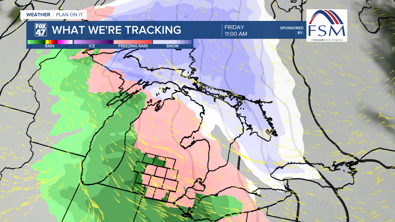
Friday brings a chance for more impactful winter weather in the form of rain and wintry mix. This could lead to more widespread slick spots on the roads Friday morning into early afternoon. We will keep you updated as we continue through the week.
We will feel more like winter late this weekend with temps starting to fall back into the 20's and chances for remnant snow showers Monday.

Want more FOX 47 News? Here's how you download our Roku app
You can also see the latest news from across our mid-Michigan neighborhoods by liking us on Facebook or following us on X.
