
LANSING, Mich. — We are starting the week across our neighborhoods with a lot of sun as high pressure at the surface builds in. Winds will stay weak out of the north with gusts up to 15-20 mph today. High temperatures will range in the mid 40's which is seasonably average.

WATCH THE FULL FORECAST BELOW
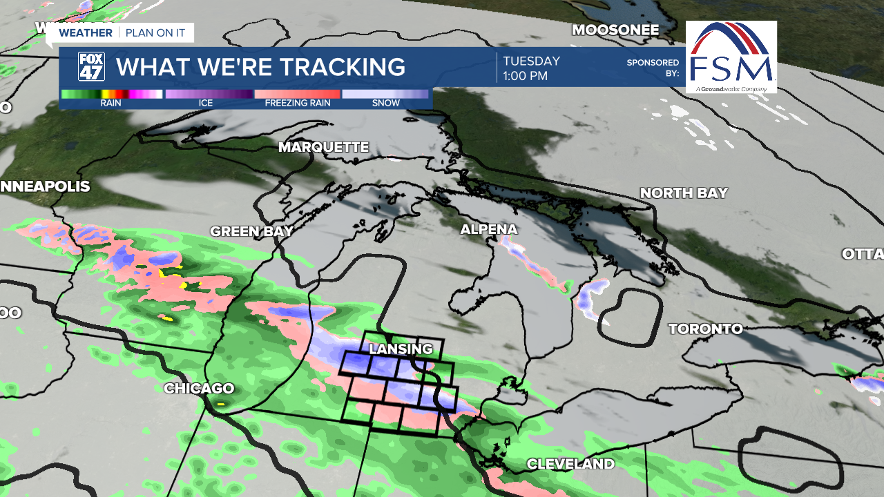
Our weather pattern is expected to make a change beginning overnight tonight as clouds increase and a low pressure system tracks east, however stays south of the state of Michigan. Since we are on the northern edge, warmer air won't be able to reach our neighborhoods. In the head of this system, we could see snow and wintry mix as temperatures hover in the mid to lower 30's tomorrow across our neighborhoods.
Precipitation could begin as early as 6 AM in the form of snowfall. As the day progresses and we slightly warm our temps into the mid 30's, we could see this snow begin to mix. Freezing rain and sleet are possible across all of our neighborhoods with no major impacts expected due to warmer ground temperatures. During the event, we could see slick spots on elevated surfaces such as bridges. All precipitation will come to an end Tuesday evening at around 10 PM.
A glaze of ice is possible across our neighborhoods with up to an inch of snow possible as well. Slick spots will be our main impact as winds stay fairly weak. Stay weather aware when heading out on the road during winter weather systems. We will continue to monitor the forecast for any changes.

We could wake up to some slick spots Wednesday morning as lows dip into the lower 20's. Cloud cover increases throughout the day Wednesday as we stay dry. Our next best chance of precipitation returns late this week Thursday into Friday. There are still some uncertainties with this late in the week rainfall and will continue to keep you updated with any changes as we move through the week.

Want more FOX 47 News? Here's how you download our Roku app
You can also see the latest news from across our mid-Michigan neighborhoods by liking us on Facebook or following us on X.
