
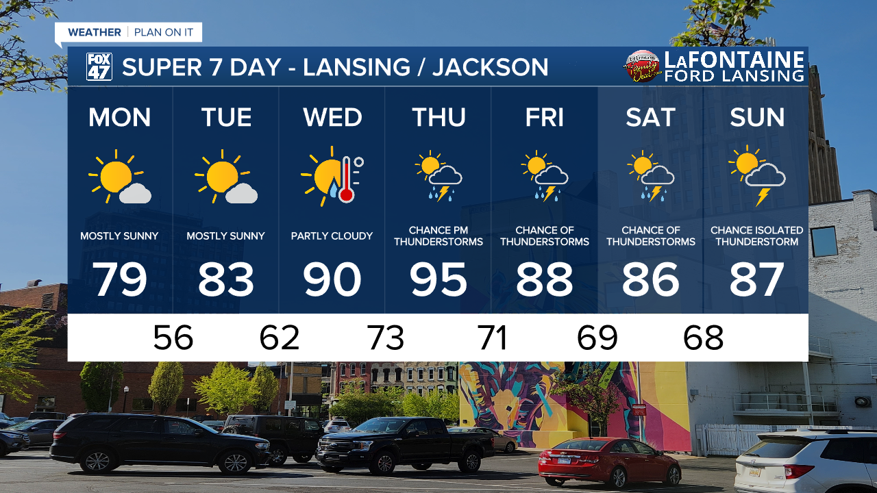
LANSING, Mich. — Following showers and storms over the weekend, we will be starting a new week with lots of sunshine. High pressure following a cold frontal passage will dominate the forecast. for the first half of the week.
WATCH THE FULL FORECAST BELOW
We will be looking at mostly sunny skies through Tuesday with partly cloudy skies by the time we reach midweek. Temperatures will gradually warm through the week as well. We will start off comfortable with highs flirting with 80 degrees on Monday and getting back to normal in the lower 80's on Tuesday.

Wednesday sees moisture return to our neighborhoods with winds out of the south. Dew points will rise from the lower 60's to the lower 70's. This will allow for uncomfortable conditions Wednesday and through the end of the week.

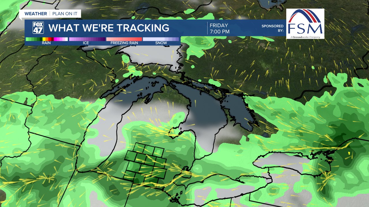
We will also see showers and storms return to the forecast for the back half of the week. An incoming area of low pressure will track east just north of the lower peninsula. This low will drive a cold front through our neighborhoods during the day Friday. We could see showers and storms begin as early Thursday and last through the weekend.
We will be watching our temperatures closely as we could see high temps into the 90's on Wednesday with Thursday looking to be the hottest day of the 7-Day forecast. This heat could be dangerous for some, especially paired with the humid conditions expected. Make sure to stay safe in dangerous heat by limiting time outside.
Want more FOX 47 News? Here's how you download our Roku app
You can also see the latest news from across our mid-Michigan neighborhoods by liking us on Facebook or following us on X.
