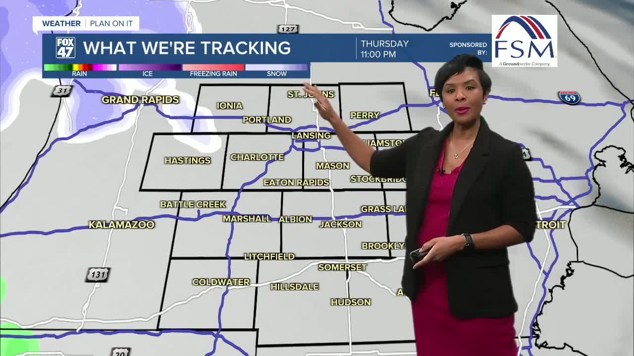


LANSING, Mich. — A chilly start to the day with temperatures in the upper 20s as you head out the door. We will eventually hit a high of about 41°. It's breezy with gusts in the upper 20s at times and increasing to the upper 30s for winds tonight. Tonight expect overnight lows of 31°F with snow showers moving in.
Snow and Strong Winds on Friday
A clipper system will move into Mid-Michigan late Thursday night and Friday morning. High winds accompany this system, gusting in the 60s at times on Friday. Along with snow and rain showers, this could lead to broken tree branches or other hazards from items blowing around.
Because this system could bring a messy mix of snow, freezing rain, and rain, especially during the Friday morning commute, use caution out on the roads. The most widespread snow showers are tracking from 4-6 A.M., but several additional rounds of light snow showers will move across our neighborhoods until we dry out about 8:00 p.m.
Snow and Rain for The Weekend Ahead
The active weather pattern continues through the weekend.
We are tracking a low that is expected to bring snow showers Saturday, then rain and snow showers Sunday. This system is likely to produce accumulating snow, with the heaviest totals being in neighborhoods to the north. We will continue to watch for snow totals.
Temperatures will remain mostly in the 40s through the weekend, before cooler air arrives early next week.
Colder Air Returns Early Next Week
By Monday, temperatures drop significantly, with highs falling to the low 30s. Expect snow showers on Monday.
Conditions should begin to dry out by Tuesday, bringing a break from several days of mixed precipitation. But temperatures drop further, reaching the upper 20s.
Want more FOX 47 News? Here's how you download our Roku app
You can also see the latest news from across our mid-Michigan neighborhoods by liking us on Facebook or following us on X.
