
LANSING, Mich. — We're starting a new month across Mid-Michigan with sunshine and clouds as an upper level wave allows for partly cloudy skies and dry conditions due to the continued lack of moisture. This same wave will allow for some stronger winds later in the day today as high temperatures should reach the mid to upper 70's today. This is just a bit above average for this time of year.

WATCH THE FULL FORECAST BELOW
Elevated wind gusts up to 30 mph begin around 2 PM in Clinton County and head south through Mid-Michigan into the early evening hours. During this time, we will be experiencing elevated fire risk due to the continued dry conditions we have been seeing since last week. Strong winds bring a risk for any fires that develop to spread faster. Winds will weaken overnight with clear skies as Tuesday and Wednesday brings sunny skies.

Temperatures will stay in the mid to upper 70's Tuesday and Wednesday with highs temperatures remaining comfortable in the 50's. Sunshine will continue into Thursday as the omega block pattern that brought all of this sunshine starts to break up. We will stay warm with mostly sunny skies on Thursday with high warming into the 80's. Returning moisture will bring humid conditions back to Mid-Michigan and gradually become more uncomfortable as we head into the weekend.

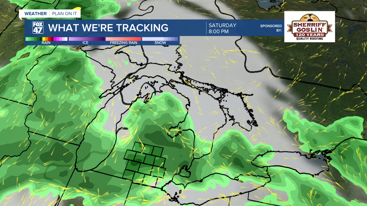
Paired with the humid conditions also comes returning shower and storm potential beginning Friday with no major impacts. Storm chances exist this weekend for both Saturday and Sunday. It is still too early to talk any potential for severe weather with these storms. We will continue to keep you updated as the week continues.
There still remains a lot of opportunity to get outside and enjoy the sunshine to start the week. If staying outside for prolonged periods of time, make sure to have a way to stay cool and use sunscreen. Temperatures will remain in the 80's through the weekend.

Have a great weather picture or video to share? Send it our way and we may feature it on-air or online!

