

Colder air settles in today along with scattered snow showers before sunshine returns Sunday and Monday. After that, a significant warm-up arrives next week — but it comes with several days of rain.
Here’s how the pattern unfolds across our neighborhoods.
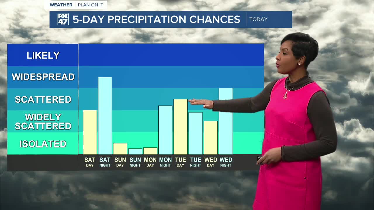
Today: Snow Showers Develop This Afternoon
Clouds increase through the morning, with some neighborhoods seeing early sunshine before skies turn mostly cloudy.
By mid-afternoon, snow showers begin developing, especially south of Lansing toward Jackson, Brooklyn, Hudson, and Coldwater. Snow continues into the evening hours before tapering off around midnight.
Most neighborhoods are expected to see around an inch to an inch and a half, with some areas closer to a half inch.
While totals are light, it’s enough to create slick and slippery spots at times — especially later this afternoon and evening.
High today: 37 degrees
Tonight’s low: 17 degrees
Sunday and Monday: Cold but Sunny
Sunday and Monday turn drier with mostly sunny skies across Mid-Michigan.
Sunday’s high reaches 27 degrees, followed by 35 degrees Monday.
It stays cold, but sunshine will make conditions feel much more manageable compared to today’s snow showers.
Tuesday: Warming Trend Begins — Rain Moves In
Tuesday kicks off a noticeable warming trend.
Highs climb into the low 40s, and precipitation transitions from snow to rain as temperatures rise. Some neighborhoods could briefly see a wintry mix early or late in the day, especially during the colder nighttime hours.
Wednesday and Thursday: Upper 40s to 50s
The warm-up continues:
- Wednesday: High near 49 degrees
- Thursday: High in the low 50s
Rain showers remain likely both days as several systems move through the region. While it will be unsettled, temperatures will run well above the seasonal average of about 37 degrees for this time of year.
Friday: Mid to Upper 50s with Rain Chances
By Friday, highs reach the upper 50s, with continued rain chances.
It’s a dramatic shift from the cold start to the weekend and well above normal for late February.
What to Watch
• Light snow this afternoon and evening may create slick roads
• Cold sunshine Sunday and Monday
• Rain replaces snow as temperatures surge into the 40s and 50s
• Some nighttime wintry mix is possible early in the warm-up
The Bottom Line
Winter makes one more appearance today with light snow showers. Then sunshine returns briefly before a strong warming trend pushes temperatures into the 40s and 50s next week — along with several days of rain.
Mid-Michigan is about to trade snow boots for rain jackets.
Want more FOX 47 News? Here's how you download our Roku app
You can also see the latest news from across our mid-Michigan neighborhoods by liking us on Facebook or following us on X.
