
LANSING, Mich. — Following a bit of a warm up across our neighborhoods yesterday, returning showers with an affiliated cold front will aid in bringing the fall like daytime highs back to our neighborhoods. Highs today across our neighborhoods are expected to reach the lower 70's.

Showers could start as early as 8 AM this morning as the cold frontal passage continues its southerly track through the state. These morning showers will stay tame with a few rumbles of thunder possible. Make sure to grab the umbrella when heading out the door.

As the frontal passage inches into the lower peninsula in the afternoon hours, instability will strengthen and possible scattered storms could produce breezy conditions and steady rainfall. These impacts will stay non severe this afternoon and last through the early evening hours.
From 6 PM to 8 PM we could see an isolated shower hang on in our neighborhoods as the frontal passage exits the state. We will hold on to cloud cover in the evening and overnight hours with clearing starting Friday afternoon, just in time for the MSU match up against Western Michigan University at Spartan Stadium.

As high pressure builds in from the north, cooler temperatures will continue through Saturday morning with a gradual warm up commencing this weekend. Daytime highs will return to the upper 70's on Sunday and Labor Day with mostly sunny skies.
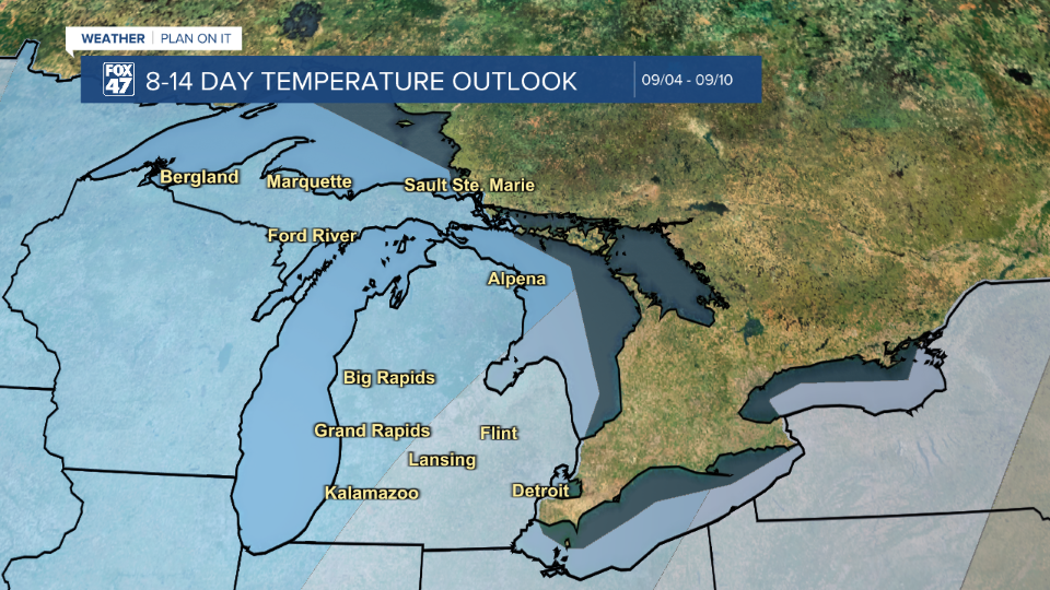
However, below average temperatures are favored during the first third of the month of September.
High temps could return to the lower 80's by midweek next week with returning chances for shower and thunderstorms. We will be keeping a close eye.

Want more FOX 47 News? Here's how you download our Roku app
You can also see the latest news from across our mid-Michigan neighborhoods by liking us on Facebook or following us on X.
