
LANSING, Mich. — Clearing skies will linger for a few hours this evening before we head right back into increasing clouds overnight. Temperatures starting in the middle to upper 50s will dip toward the mid 40s by daybreak, with spotty showers breaking out after 4:00 AM.
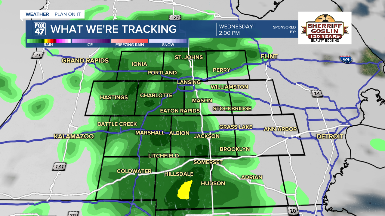
The showers come as a storm system tracks out of the southern Plains and heads northeast along the Appalachian Mountains. As the system passes southeast of Michigan on Wednesday, it will keep occasional showers going for most of the day. Rain is expected to generally be light, but will make for some slippery roads at times. It will come with a bit of a raw feeling too, with highs only expected to top the mid 50s.

Showers will wind down after sunset, leaving clearing skies behind for Wednesday night. This will come as colder air pours south out of Canada, forcing overnight temperatures down into the mid 30s. Widespread frost is likely, so you'll need to be ready to cover any sensitive outdoor plants, and make sure to brings pets in for the night as well!
Thursday trends drier, but a few spotty showers will be possible again in the afternoon. Highs will run over ten degrees below average, only managing to climb into the low 50s. More frost is likely Thursday night, as lows again fall into the low 30s.
GET YOUR FOX 47 FORECAST HERE
Rinse repeat for Friday and Saturday, just with a bit more sunshine. Highs will stay locked around 50 degrees, and we'll face the continued threat for frost with lows staying in the low to mid 30s through the first half of the weekend.

A slightly milder shift takes hold on Sunday, with highs getting back to the upper 50s. We'll continue on into the low 60s early next week, but both Monday and Tuesday will bring the chance for a few showers and thunderstorms.
Have a great weather picture or video to share? Send it our way and we may feature it on-air or online!

