
LANSING, Mich. — We're waking up to showers across our neighborhoods Wednesday morning. These showers are staying tame and are not expected to bring much of a hassle to the morning commute. Grab that umbrella when heading out and stay weather aware when heading out on the roads. Showers should come to an end around 10/11 AM this morning.
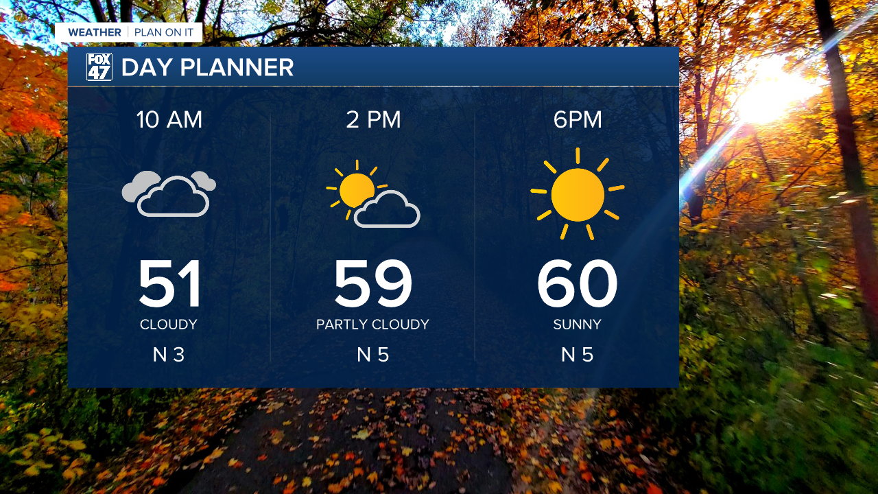
Following these morning showers, cloud cover will gradually track south and out of the way leaving sunshine for the late afternoon period across the majority of our neighborhoods. High temperatures continue to gradually cool to the lower 60's today. This is seasonably average for this time of year.
WATCH THE FULL FORECAST BELOW
Heading into the overnight hours, winds continue out of the north and aid in cooling our temperatures into the upper 30's. With clear skies and calm winds, patchy frost will be possible across our neighborhoods. Make sure to bring in those plants or cover them up overnight.

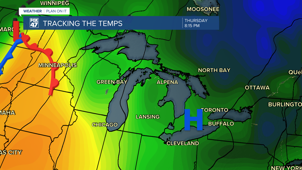
The area of high pressure at the surface will exit throughout the day Thursday. On the back end, we will see winds shift out of the south which will begin to setup a new patter which will bring showers and storms back to our neighborhoods as we close the week and end the weekend.
We could see showers as early as 2 AM Friday morning and last through the morning hours with no major impacts affiliated with the return of warmer air. A shortwave trough along this southwesterly flow could bring more showers Friday night.
However, we are manly watching the weekend as warm moist air from the south allows for possible heavier rainfall rates ahead of an incoming cold front. This cold front is expected to drive showers and possible storms late Saturday into Sunday morning. We could still see some changes to this timing and evolution, but make sure you have that umbrella for the weekend.

Following shower and storms over the weekend, we will start the weekend dry with partly cloudy skies and temperatures cooling back into the lower 60's and possibly upper 50's. We have renewed chances for showers Tuesday. It is a bit early to talk details about Tuesday's precipitation, but we will keep an eye on it.

Want more FOX 47 News? Here's how you download our Roku app
You can also see the latest news from across our mid-Michigan neighborhoods by liking us on Facebook or following us on X.
