


LANSING, Mich. — Many remain without power across Mid-Michigan Monday morning following a wet and stormy Fourth of July weekend. As of 5:40 AM Monday, over 10,000 customers remain with no power across Clinton, Ingham, Eaton, Jackson, & Hillsdale counties.
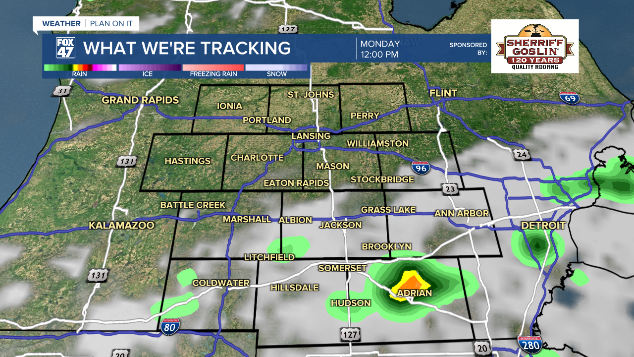
As low pressure tracks off to the southeast, we will see showers and storms exit along with it. Far south areas like Jackson and Hillsdale could hold onto cloud cover and some possible storm redevelopment through the early afternoon hours Monday, but a lot of us will see some sunshine today.
WATCH THE FULL FORECAST BELOW
High temperatures today hover around normal in the lower 80's with winds out of the north making outdoor conditions much nicer compared to last week. Areas like Lansing and St. Johns should see more sunshine today as a lot of shower and storm potential hover more so in far southeastern areas.

High pressure settling in will allow for sunshine across the board Tuesday and Wednesday as temperatures gradually warm over the next few days reaching the upper 80's by Wednesday.
Our next best chance for storms arrive on Thursday with isolated storm chances taking us into Friday as well as Sunday. Temperatures will cool following Thursday's round of storms. We will have more opportunity to get outside this week compared to the weekend and last week.


Have a great weather picture or video to share? Send it our way and we may feature it on-air or online!

