

LANSING, Mich. — A few rounds of showers and thunderstorms are moving across Mid-Michigan this evening and tonight before quieter weather returns to end the week. After that, temperatures will climb quickly, with highs pushing into the 90s early next week and heat index values potentially reaching the triple digits.
Tonight: Isolated Thunderstorms Continue
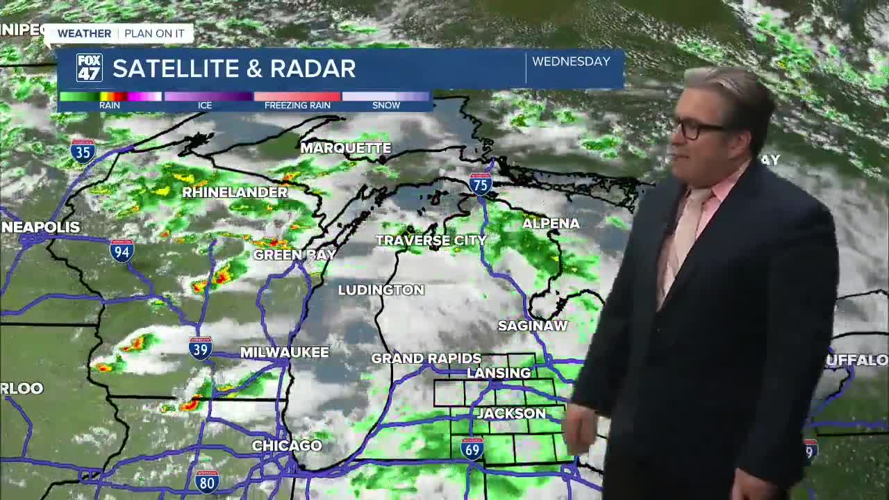
Scattered showers are moving through the region with additional development expected throughout the overnight. While most storms will remain below severe limits, a few could produce brief heavy rain, gusty winds, and lightning.
A stronger storm cannot be completely ruled out, especially across our southwestern communities, but the overall risk remains low due to limited instability.
Showers and thunderstorms should gradually diminish overnight, with lows falling to around 59 degrees.
Thursday: A Few More Afternoon Storms
Thursday starts with improving conditions, but another round of isolated showers and thunderstorms could develop during the afternoon as a weak weather system moves through. The better chance for storms will be across the northeastern portions of Mid-Michigan, while many locations stay dry.
High temperatures will reach the mid-70s, making for another comfortable June day.
Dry and Pleasant Into the Weekend
High pressure begins building across the Great Lakes Friday through Sunday, bringing several days of quiet weather.
- Friday: Partly cloudy, high of 76°
- Saturday: Partly cloudy and warmer, high near 80°
- Sunday: Mostly sunny with highs climbing to 85°
Humidity will also begin increasing by the end of the weekend.
Heat Arrives Early Next Week
Summer makes a strong return Monday through Wednesday as a large ridge of high pressure settles over the eastern United States.
Temperatures are expected to soar into the lower 90s Monday through Wednesday, with overnight lows remaining in the 70s. Combined with dew points climbing into the 70s, it could feel close to or above 100 degrees at times.
If you're planning to spend time outdoors next week, stay hydrated, take frequent breaks in the shade, and never leave children or pets inside parked vehicles.
Thunderstorm Chances Return
The hot and humid air will also provide plenty of fuel for thunderstorms next week. While it's too early to determine exactly when or where storms will develop, several opportunities for thunderstorms are expected between Monday and Wednesday.
We'll continue refining the forecast over the coming days as the timing of any storm systems becomes clearer.
7-Day Forecast
- Thursday: Chance of thunderstorms, 76° / 55°
- Friday: Partly cloudy, 76° / 57°
- Saturday: Partly cloudy, 80° / 59°
- Sunday: Mostly sunny, 85° / 66°
- Monday: Chance of thunderstorms, 90° / 73°
- Tuesday: Mostly sunny, hot and humid, 92° / 75°
- Wednesday: Chance of thunderstorms, 93°
Have a great weather picture or video to share? Send it our way and we may feature it on-air or online!

