Weather

Actions

Severe storms possible to start the week across Mid-Michigan

We start the week hot and humid which will aid in thunderstorm development during the afternoon hours across Mid-Michigan
Posted

LANSING, Mich. — Southern Mid-Michigan missed out on a lot of severe storms from Sunday. As we begin the new week, we will have more opportunity for severe storms beginning this afternoon as warm and moist air from the south provides a prime atmosphere able to produce severe storms.

High temperatures today across southern Mid-Michigan will warm into the mid to upper 80's and possibly make a run for the lower 90's. Dew points into the upper 60's will make it feel uncomfortable outside and it might be best to limit time outdoors today if susceptible to heat related illness. Storms in the afternoon hours could turn severe so make sure to have a way to receive alerts.

Warm moist air from the south will aid in hot and humid conditions today which will prime the atmosphere for severe thunderstorms ahead of the cold frontal boundary

WATCH THE FULL FORECAST BELOW
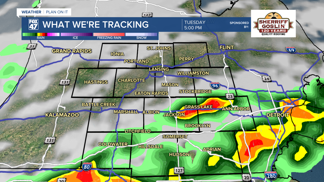
Severe storms possible to start the week across Mid-Michigan

A slight risk for scattered severe storms has been issued for the entirety of southern Mid-Michigan Monday. All impacts are at play with our primary impact being damaging winds up to 60 mph. These same impacts exist for Tuesday afternoon as well. The difference between today and Tuesday is timing of the passing cold front. The frontal passage stays stalled out to the west Monday as the cold front will act as a source of lift Tuesday afternoon which will advance during the late afternoon/early evening hours with strengthening storms focused a bit more south and east.

MONDAY SEVERE WEATHER OUTLOOK BELOW

Slight risk for severe storms across Mid-Michigan Monday with damaging winds our main threat

MONDAY SEVERE WEATHER OUTLOOK BELOW

Slight risk for severe storms across much of Mid-Michigan Tuesday as the cold frontal passage advances through the state

Timing for storms today could begin as early as 2 PM and last through the evening hours around 8 PM. Make sure you have a way to receive alerts today as 1" hail and an isolated tornado remain possible along with heavy rainfall rates.

Storms arrive Monday afternoon across Mid-Michigan with all severe impacts possible

Storms on Tuesday could see some changes depending on the behavior of the cold front as well as potential showers and storms during the Tuesday morning hours. Any cloud cover or showers in the AM hours could inhibit the fueling process for afternoon storms. Timing and coverage could still see some tweaks, but make sure to have the umbrella ready for potential severe storms to begin anytime after 12 PM.

Storms arriving Tuesday carry severe potential, but fire off a bit further south and east during the afternoon and evening hours

Humid conditions will continue throughout the day today and Tuesday with dew points in the mid to upper 60's. This will make heading out the door uncomfortable. Even in the overnight hours, we will see dew points in the 60's, meaning windows would be best shut. If you want to turn the air on to remain comfortable, it would not be a bad idea. Stay cool today as more comfortable, dry, air will return Wednesday following the cold frontal passage.

We'll be humid today with dew points sticking in the 60's which will continue into the overnight hours as well making it feel uncomfortable

We will cool down once the cold front advances through Mid-Michigan. Wednesday and Thursday bring highs back into the mid to lower 60's with overnight lows in the lower 40's. We are expecting to see more sunshine as surface high pressure takes over the forecast. More showers and even a possible storm could return to end our week and take us into the Memorial Day weekend. We will be watching closely.

7-Day Forecast 05/18/26
Starting the week hot and humid with severe storms possible as more sunshine will arrive during the midweek period with cooler conditions.

Have a great weather picture or video to share? Send it our way and we may feature it on-air or online!

FOX47 Weather Web Submission