

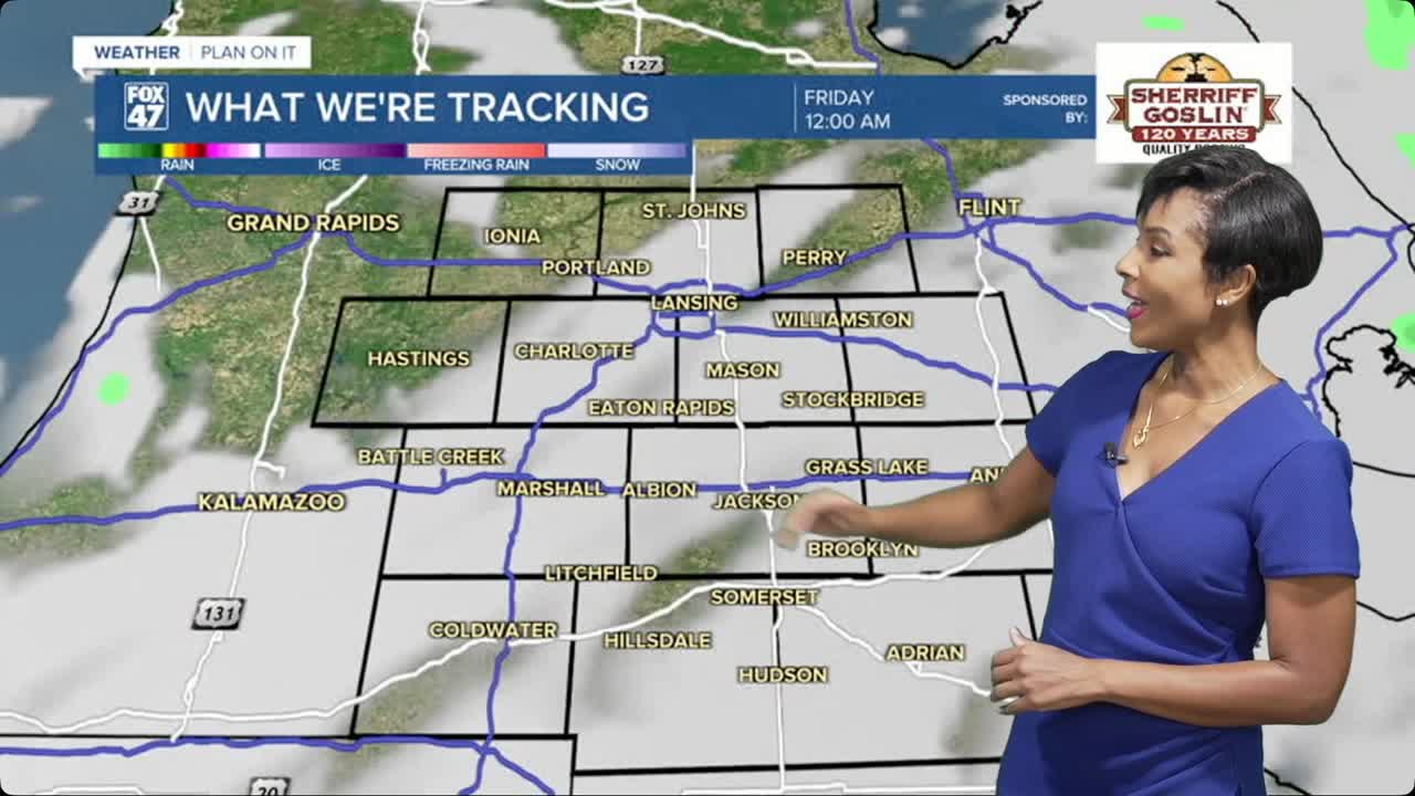


LANSING, Mich. — Scattered showers and thunderstorms will remain in the forecast tonight as an unsettled weather pattern continues across Mid-Michigan. While not everyone will see rain, those that do could experience locally heavy downpours overnight.
Forecast confidence continues to be lower than normal, as small-scale weather disturbances are making it difficult to pinpoint exactly where thunderstorms will develop. Storms are expected to remain scattered in nature, meaning some communities may stay dry while others receive periods of heavy rain. The greatest concern overnight will be localized heavy rainfall, especially south of I-96 and near the I-94 corridor. While widespread flooding is not expected, repeated downpours could lead to areas of nuisance flooding in poor drainage locations.
Fortunately, the overall severe weather threat remains low tonight. Widespread damaging winds or large hail are not anticipated, although lightning will accompany any thunderstorms that develop.
Thursday looks somewhat drier than previously expected. While a few showers and thunderstorms remain possible, the better chance for rain appears to shift toward southeastern Lower Michigan during the afternoon. As always with this weather pattern, exactly where storms develop will depend on what happens overnight.
Looking Ahead
Broad upper-level troughing will remain over the Great Lakes through early next week, keeping periodic chances for showers and thunderstorms in the forecast each day. Rather than an all-day washout, expect rounds of scattered storms with many dry hours mixed in between. At this point, we do not expect widespread severe weather or significant flooding through early next week, although any thunderstorm will be capable of producing brief heavy rainfall.
7-Day Forecast
Thursday: Hit-or-miss showers and thunderstorms. High 80°, low 64°.
Friday: Chance of showers and thunderstorms. High 84°, low 66°.
Saturday: Isolated thunderstorms possible with warm afternoon temperatures. High 85°, low 62°.
Sunday: Partly sunny with a chance for afternoon and evening thunderstorms. High 84°, low 65°.
Monday: Another chance of scattered showers and thunderstorms. High 84°, low 63°.
Tuesday: A few showers remain possible with partial sunshine returning. High 81°, low 59°.
Wednesday: Partly cloudy with drier weather and seasonable temperatures. High 80°.
Have a great weather picture or video to share? Send it our way and we may feature it on-air or online!

