
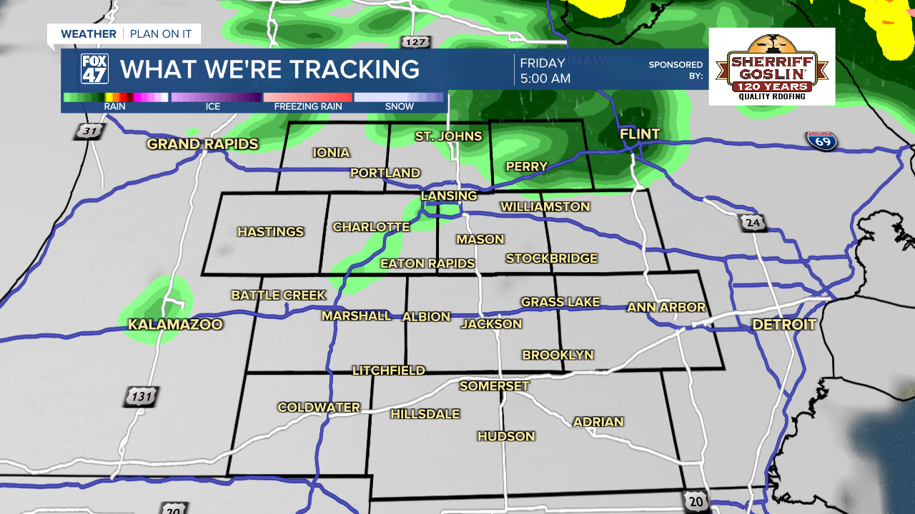
Clouds will return to our neighborhoods late this evening as a weak disturbance moves in from the northwest. A few light showers will be possible closer to daybreak, but are not expected to cause major issues for the morning commute. Lows will take a brief dip to the upper 30s before climbing back to the low 40s by sunrise.
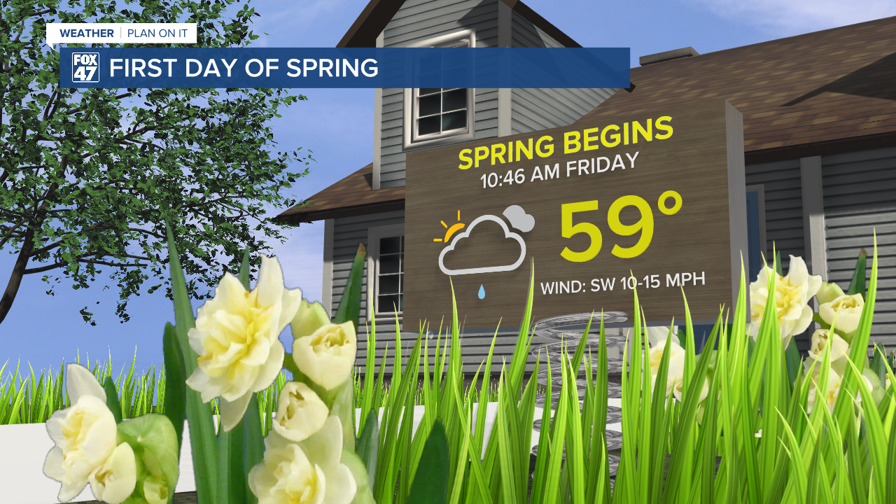
Spring officially arrives at 10:46 AM Friday, and our weather is going to act the part. Spotty showers in the morning will make a quick exit, leaving mostly cloudy skies behind for the rest of the day. Temperatures will remain pleasantly mild in the upper 50s to around 60, with a southwest breeze increasing to 10-15 mph.
GET YOUR FOX 47 FORECAST HERE
Saturday takes a good thing and makes it better! A gap between disturbances will give us plentiful sunshine for the first half of the weekend, with highs remaining in the upper 50s. It will be a great day for some outdoor activities before things take a more unsettled turn on Sunday. Scattered showers are expected ahead of a cold front, but we'll hang on to highs in the 50s for one more day.

From there, we turn cooler again, but only to highs in the 40s to around 50 Monday through Wednesday. Partly to mostly cloudy skies are expected through that stretch, with the next chance for showers coming on Thursday.
Want more FOX 47 News? Here's how you download our Roku app
You can also see the latest news from across our mid-Michigan neighborhoods by liking us on Facebook or following us on X.
