
LANSING, Mich. — After a dusting of snowfall that brought up to 2" across some of our neighborhoods, sunshine from Sunday has already been able to melt a lot of the new snow and this trend will continue today. We will hang on to the influence of surface high pressure that will continue tracking east leaving sunshine in the forecast to start our week.
Temperatures will be much warmer Monday ranging in the upper 30's for most and possibly reaching 40 degrees for some due to all the sunshine expected. Winds will remain week, but gusts up to 25mph can't be ruled out for southern neighborhoods during the late morning/early afternoon hours.

WATCH THE FULL FORECAST BELOW
Additional sunshine should help to melt more of our snow depth from over the weekend. Heading into Tuesday, a warm front advances northeast towards the region. However, this warm and moist air will not be able to reach our neighborhoods.
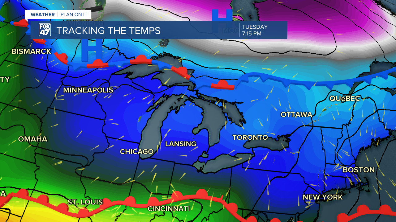
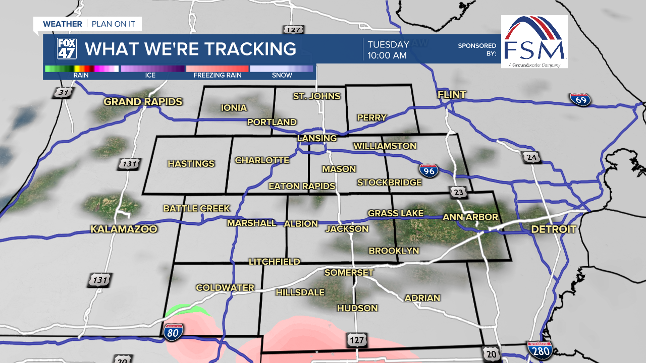
We do have a chance to see some precipitation in the form of freezing drizzle as a shortwave advances through the region Tuesday morning with temperature profiles in the mid. 30's. Freezing drizzle is focused more along the I-94 corridor and for areas south like Hillsdale. Into the afternoon hours, we could continue to see light rain which will continue into Wednesday. Any precipitation we see during the next two days will be light and not bring a whole lot of problems to our neighborhoods.
We will be able to tap into more moisture as we continue to warm up as we reach Thursday. With the return of moisture we could see some more impacts including heavier precipitation rates. Rain will be our main precipitation type as temperatures warm into the 50's. We are expecting showers to continue Thursday evening with another round of showers advancing through Friday into Saturday. The latter system could produce some thunderstorm impacts as instability will remain present with moist air and an incoming cold front acting as lift. We will be watching carefully throughout the week, but make sure to have the umbrella ready.

Temperatures will make it into the 60's by the time we reach Friday and remain there heading into the weekend. These temperatures are well above average for this time of year. Shower chances continue into Sunday as well with not as many impacts expected compared to Friday and Saturday.

Want more FOX 47 News? Here's how you download our Roku app
You can also see the latest news from across our mid-Michigan neighborhoods by liking us on Facebook or following us on X.
