


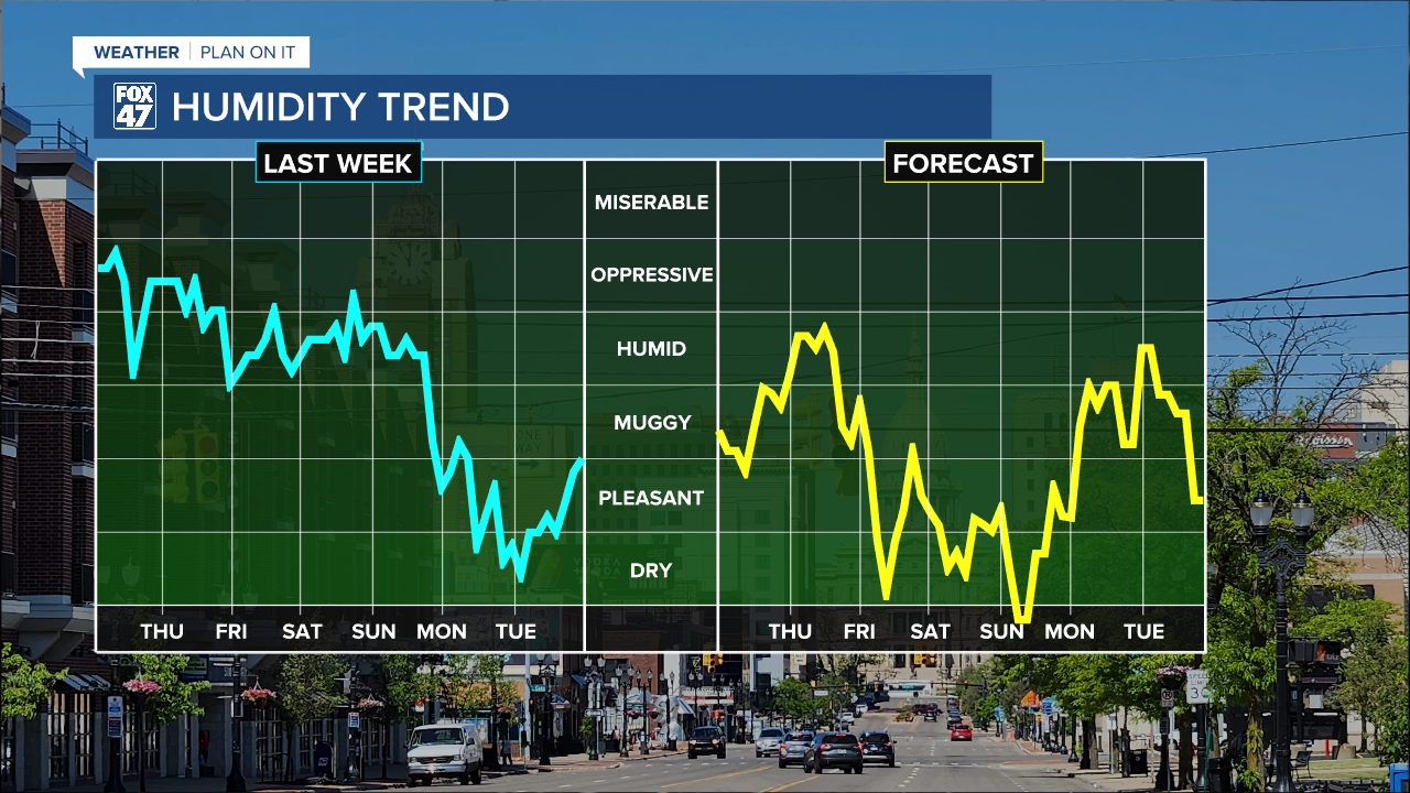
LANSING, Mich. — Waking up to more sunshine today across Mid-Michigan as we are seeing a lot more customers with power today following strong storms over the weekend. Temperatures continue to rise today, flirting with 90 degrees. Winds remain weak today as they turn out of the southwest. We will start to see humidity on the rise again ahead of returning thunderstorms Thursday.

WATCH THE FULL FORECAST BELOW
Overnight tonight, a few clouds pass by as the frontal passage sags south into southern Michigan which will continue its southerly track throughout the day Thursday promoting scattered thunderstorms. We could see showers and storms enter our most northern areas in the AM hours and gradually track south throughout the the day.
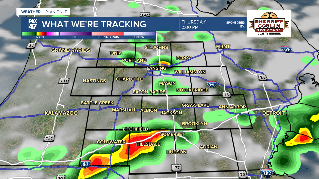
Confidence still remains quite low on timing and location of these storms, especially stronger to severe storms. An isolated risk of damaging wind gusts exists across much of the area on Thursday. It is best to have a way to receive alerts tomorrow and to pack the umbrella when heading out the door.

We could see an isolated storm linger into the daytime hours Friday with no severe impacts expected. Heading into the weekend, we are looking to dry up and see lots of sunshine as temperatures gradually warm again. By early next week, we will tap back into returning moisture that will make us feel humid out as high temperatures warm into the 90's. We could be dealing with another heat wave, but it is still a bit too far out to be certain. We will be keeping a close eye on it.

Have a great weather picture or video to share? Send it our way and we may feature it on-air or online!

