
LANSING, Mich. — After a cloudy past couple of days, we will close our work week with more sunshine and temps returning to the 80's. Winds turning out of the southwest today stay week as following areas of dense fog this morning, skies will remain mostly clear. With this we could see high temps reach the mid to lower 80's. However, this warmer air won't be sticking around for too much longer in our 7-Day.

WATCH THE FULL FORECAST BELOW
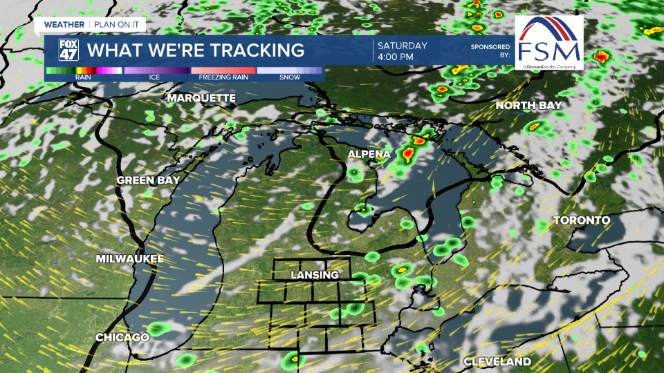
A cold front out of the northwest will advance through the state of Michigan Saturday driving showers and a possible storm in our neighborhoods. Cloud cover will begin to increase in the overnight hours tonight. We could see some spotty showers in the late AM hours as the frontal passage inches closer. However, the best chance for storms lies in the afternoon hours past 12 PM and possibly lasting into the evening hours.
At the moment, no severe impacts are expected but we could see wind gusts up to 30 mph in our most northern neighborhoods in Clinton Co.
Once the cold frontal passage advances through our neighborhoods, winds will turn out of the north. This will allow for cooler air to make its way into our neighborhoods just in time to start a new week.

Highs Monday will struggle to reach 70 degrees. We are looking at highs in the upper 60's with a chance for lake effect rain showers. These light rain chances are affiliated with the exiting influence of low pressure that drove the cold frontal passage. Overnight lows early next week will struggle to reach 50 degrees.
At this time of year, we should be seeing daytime highs at 80 degrees and overnight lows at 59 degrees. What we could see early next week could reach 10 degrees below average for this time of year, feeling more like fall than late summer.
Lake effect rain shower chances will come to an end during the back half of next week with a returning chance for showers and thunderstorms Thursday.

Want more FOX 47 News? Here's how you download our Roku app
You can also see the latest news from across our mid-Michigan neighborhoods by liking us on Facebook or following us on X.
