


LANSING, Mich. — Showers and storms return to Mid-Michigan today driven by a slow moving cold front that will advance through the state today and throughout Thursday. Showers could potentially linger into Friday as well to close the week. We will see high temperatures today reach the mid 80's, similar to what we saw Tuesday.
WATCH THE FULL FORECAST BELOW
Winds out of the southwest brings moisture back to the area today. We will see an increase in clouds gradually throughout the day with humid conditions being felt around the entire area by mid afternoon. This trend will continue as we hold onto a pattern where showers and storms remain possible through the rest of the 7-Day period.
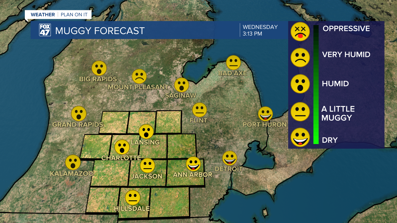
We could see showers and storms reach our area at around 6 PM Wednesday evening and take us into the overnight hours and all day Thursday. Storms should stay scattered and non-severe producing heavier rainfall rates and isolated wind gust up to 30 mph. Due to the slow moving cold front and the possibility for it to stall late Thursday, shower potential could linger into Friday with a rumble of thunder possible as well.

One of the main impacts we'll be watching out for tonight and into tomorrow remains localized ponding in areas of poor drainage as well as other flooding concerns for areas hit with stronger storms. Make sure not to drive through flooded roadways if out on the roads late this week. A marginal risk for excessive rainfall exists over most of the area today and for all of our area Thursday.

We will enter the weekend with a bit of a break with the potential to see some low impact showers Saturday and an isolated thunderstorm possible Sunday. If you have outdoor weekend plans, it would be best to pack the umbrella. Renewed chances for storms takes us into the new week with temperatures, for the most part, sticking in the mid 80's.

Have a great weather picture or video to share? Send it our way and we may feature it on-air or online!

