
LANSING, Mich. — Wednesday across Mid-Michigan is looking dry with party to mostly cloudy skies throughout the day today. Temperatures will remain below average in the mid 50's today. If you are planning to do any outdoor activities, plan to take a jacket. No major impacts to the morning or evening commute are expected today.

WATCH THE FULL FORECAST BELOW
We will shift gears overnight and track potential frost development. During the overnight hours, skies will clear with air temperatures falling into the mid 30's. Winds speeds out of the west overnight could hinder frost development, but make sure to bring potted plants indoors or cover your plants as this overnight period will be best for frost development with a warm up on the way for the end of the week and into the weekend.
Feels like temperatures by Thursday morning will drop into the upper 20's. Make sure to grab the winter jacket when heading out the door.

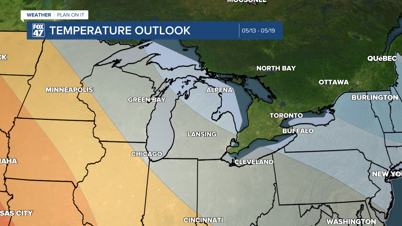
Temperatures heading into the middle of the month are forecast to return more to normal which ranges from the mid to upper 60's. These warmer temperatures will give us a break from tracking consistent overnight temperatures in the 30's which we look for when tracking frost.
Shower chances return Thursday with no major impacts expected during the PM hours. We will continue to track low impact showers Friday as thunderstorm chances return Saturday. At the moment, no severe impacts are expected, but we will continue to keep you updated. We will see falling temperatures into the new week with a dry start on Monday. A lot of our measurable rainfall is expected to fall during the weekend on both Saturday and Sunday for Mother's Day.

Temperatures warm into the 60's Saturday with a cool down heading into the new week. Highs Monday and Tuesday will range in the upper 50's. These temps are a bit warmer than what we will observe today and tomorrow. However, overnight lows in the upper 30's will remain possible.

Have a great weather picture or video to share? Send it our way and we may feature it on-air or online!

