


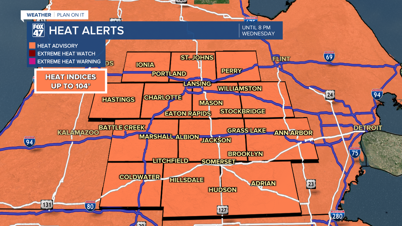
LANSING, Mich. — We have a busy forecast today as we continue with extreme heat ahead of a passing cold front. Everyone saw air temperatures into the 90's Tuesday and that trend will continue today with highs in the mid to upper 90's and heat index values into the triiple digits. The Heat Advisory is good until 8 PM this evening. Thankfully, the cold front will usher in cooler temperatures.
WATCH THE FULL FORECAST BELOW
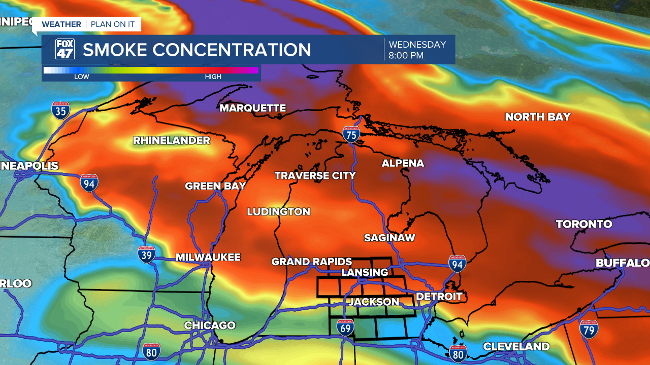
The cold front, however, does bring an added kink to our conditions today as wildfire smoke from Canadian wildfires north of lake superior will follow the northerly flow into our area later this afternoon, deteriorating our air quality. The entire state is under an Air Quality Alert for Wednesday, July 15th and elevated levels of particulate matter make their way into the lower peninsula gradually, lingering into Thursday.
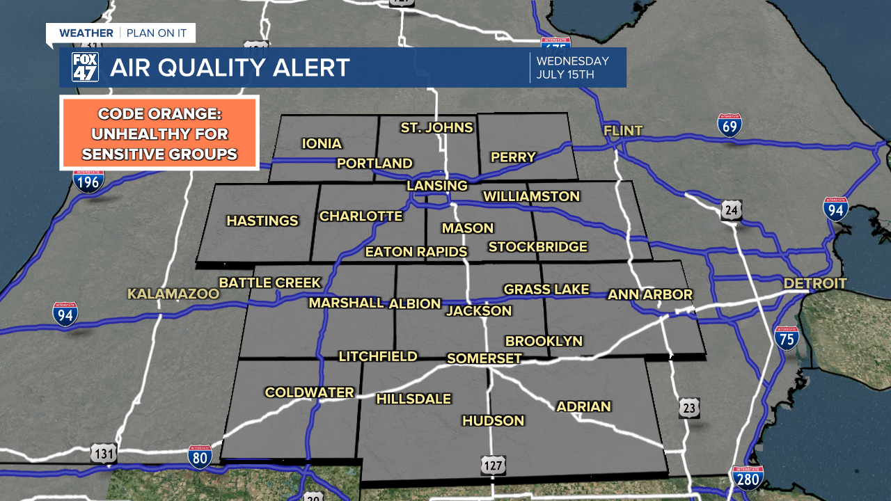
Air Quality should range up to Unhealthy for Sensitive Groups with limiting time outside as the best response today for those with underlying respiratory issues. We could see hazy skies as the sun rises and sets during this time and we won't see some relief until northerly flow changes late this week.
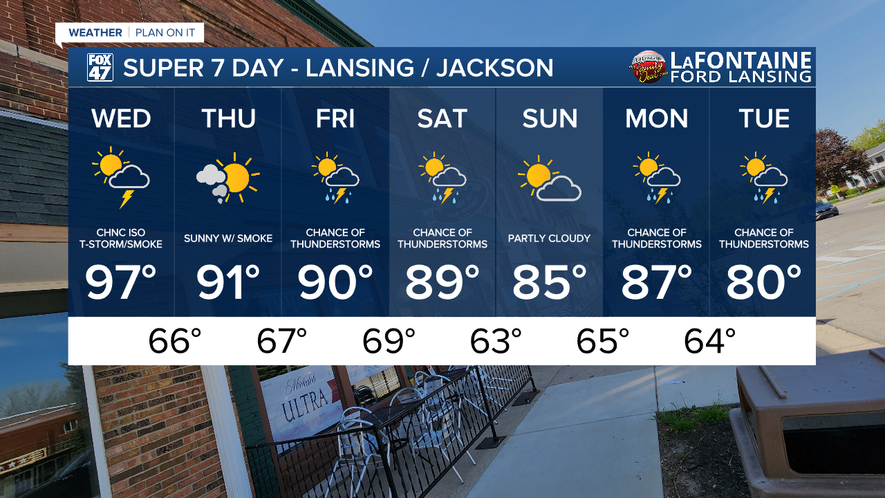
The passing cold front drops temperatures beginning tomorrow back into the lower 90's. This heat is still well above average and limiting time outside might still be necessary as we will continue to track wildfire smoke mixed with clear skies.

As the front advances through this evening, an isolated pop up thunderstorm does remain possible for Mid-Michigan anytime after 3 PM and through about Midnight tonight. No severe impacts are expected, but if you run into a storm, you could see steady rainfall rates as well as gusty winds.

Showers and thunderstorms return Friday with heavy rainfall rates as a main impact. Showers and storms continue into Saturday with a break Sunday. As we start a new week, we will continue to track storms with temperatures cooling back into the lower 80's which is near normal for this time of year.
Have a great weather picture or video to share? Send it our way and we may feature it on-air or online!

