
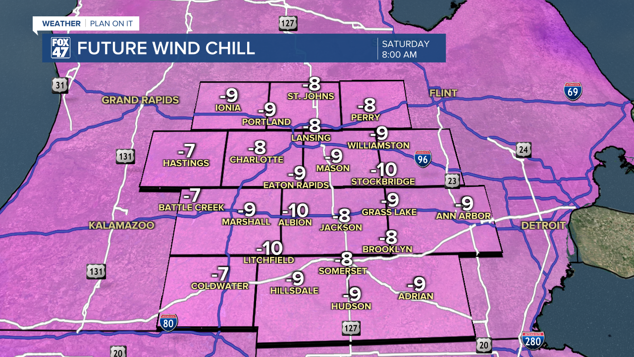
LANSING, Mich. — A Cold Weather Advisory is in effect for Clinton, Eaton, Ingham, and Jackson counties through 10 AM Friday morning with possible feels like temperatures dropping to 15 below zero degrees. This cold can be dangerous when precautions remain not followed.
Temperatures will only warm into the lower teens today and in some neighborhoods flirting with single digits temperatures. The good news is our neighborhoods will be able to see some sunshine today as we continue to switch up our weather pattern.

WATCH THE FULL FORECAST BELOW
If heading out to the Breslin Center this evening for the MSU vs U of M rivalry game, make sure you are bundling up as temperatures this evening gradually cool back into the single digits with possible wind chills at or below zero degrees.
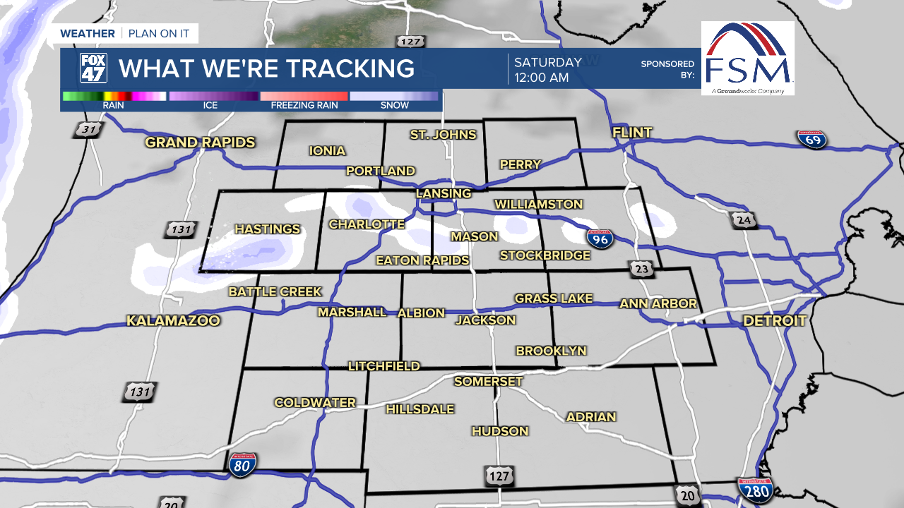
Heading into the overnight hours, we do have a chance to see winds veer out of the northwest which could bring some more lake effect snow into our neighborhoods. This will occur late this evening and overnight as it tracks south. Light accumulations are possible with a few slick spots as our main impact. We will dry up heading into Saturday with partly cloudy skies.
Overnight lows tonight warm above zero degrees which will impact our feels like temperatures that could now only feel like 10 below zero degrees. This is still chilly, but not dangerously cold for our neighborhoods. Make sure to continue bundling up as temperatures remain chilly through the weekend.
High temperatures return above 20 degrees beginning Monday, also Groundhog Day. A chance for snow exists Monday as well as Wednesday. If we see any accumulations, rock salt will be effective for curing roadways from snowfall.

Want more FOX 47 News? Here's how you download our Roku app
You can also see the latest news from across our mid-Michigan neighborhoods by liking us on Facebook or following us on X.
