
LANSING, Mich. — A cold front advance through our neighborhoods overnight Sunday into Monday driving showers and storms Sunday evening. We will be starting our work week off with cloudy skies as we continue to track the exiting cold front.
We could see a few light showers in areas south of I-94 during these morning hours. However, we will see clouds gradually clear as we progress through the afternoon hours. Any showers we do see development will bring very little impact.

WATCH THE FULL FORECAST BELOW
High temperatures today will remain below average for this time of year with highs only reaching the upper 70's across our neighborhoods. Dew points will fall into the mid to lower 60's. This will allow for a bit more comfortable conditions outside than what we observed over the holiday weekend.

By the time we reach the 6 PM hour Monday night, we will see clearing skies across all of our neighborhoods. This is due to the cold front advancing out of the region and high pressure building into our neighborhoods.

This trend won't last long as a few mid level disturbances will allow for warm moist air to return to our neighborhoods as well as an area of low pressure tracking northeast towards our neighborhoods. Cloud cover will increase gain Tuesday afternoon with showers and storms developing past midnight Tuesday night.
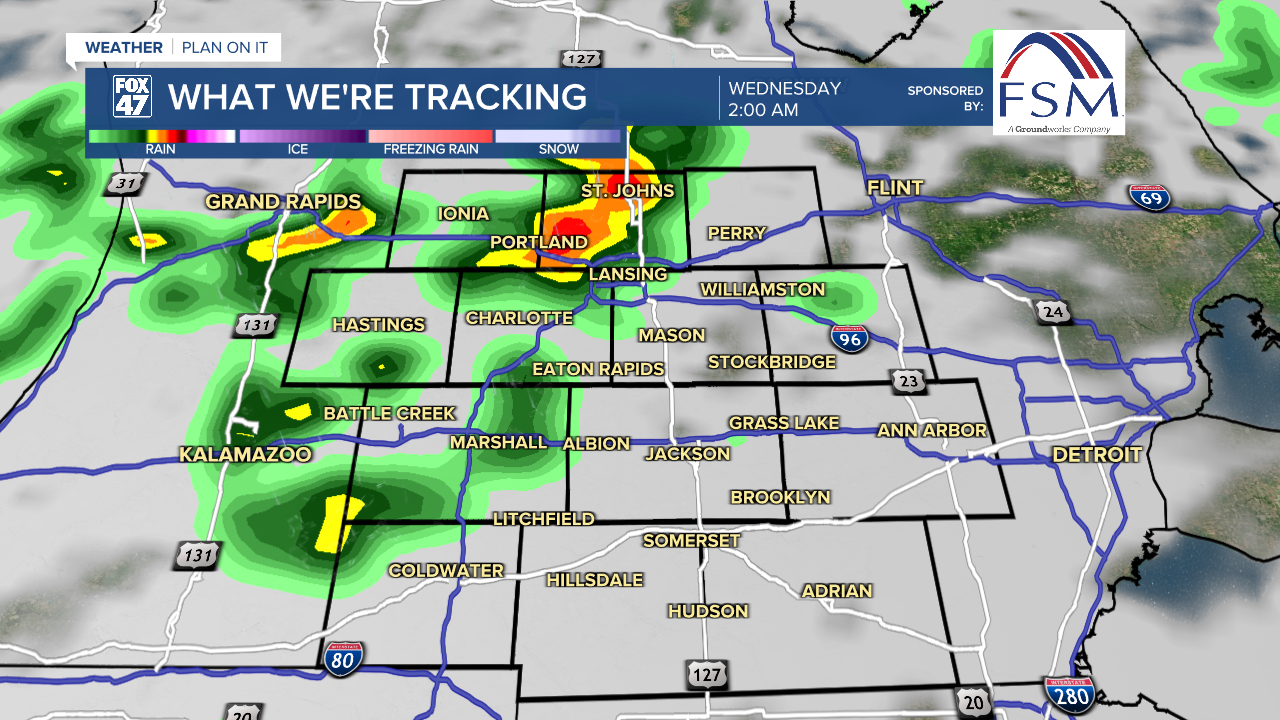
At the moment, we are not tracking any severe impacts as these storms advance throug. These showers and storms are expected to last throughout the morning and day on Wednesday as the passing cold front clips our most southern neighborhoods.
This will begin a pattern of shower and storm chances through the rest of the work week and into the weekend as well. High temperatures beginning tomorrow will return to normal in the mid to lower 80's. Overnight lows will also warm into the mid to upper 60's as we will also see dew points rise again once showers return to our neighborhoods. We can expect more humid conditions because of this.

Want to learn more about the Weather? Visit the FOX47News Website.
Stay in touch with us anytime, anywhere.
Sign up for newsletters emailed to your inbox.
Select from these options: Breaking News, Severe Weather, School Closings, Daily Headlines and Daily Forecasts.
