

LANSING, Mich. — Saturday: Early morning thunderstorms will track across our neighborhoods as a warm front moves across our area. After the early thunderstorms, afternoon flare-ups will bring showers and possible thunderstorms to some areas. By early evening, things will start drying out, and sunshine will move back in. However, a stray shower or pop-up thunderstorm will still be possible. Due to the passing warm front, temperatures will surge to about 80°F and stay that way for several days.
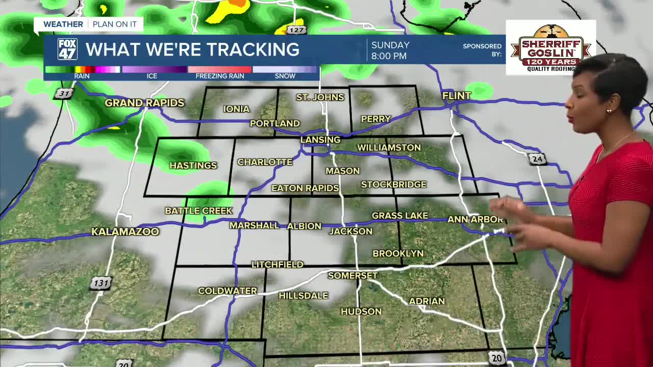
Sunday: Partly sunny skies will also be accompanied by A.M. showers that could see some thunderstorms pass through. Temperatures stay hot, reaching highs around 80°F again. Overnight temps remain mild with lows of about 65°F.
Monday-Tuesday- It's a wet start to the workweek with showers and thunderstorms that have better potential to become severe as a low-level jet passes through. The warm front continues to keep things hot, topping out at 87°F, then 84°F. But Tuesday, a cold front is going to drop the temperatures back to lows in the 50s overnight, and kick off a cooler stretch of days.
Wednesday-Friday: The cooling trend continues to keep temperatures in the upper 60s, but partly-mostly sunny skies will bring pleasant conditions. By Friday, temperatures start slowly warming back up and reaching highs near 70°F
Have a great weather picture or video to share? Send it our way and we may feature it on-air or online!

