
LANSING, Mich. — An advancing cold front drives precipitation throughout the state of Michigan this morning. Most of this precipitation is located a bit north of our neighborhoods, but anything that does develop in our neighborhoods through the late morning hours will stay tame with no major impacts.
WATCH THE FULL FORECAST BELOW
High temps today will only reach the mid 60's, similar to what we saw across our neighborhoods yesterday. Winds will be strongest in the early afternoon hours along the cold frontal passage where we could see max winds gusts as high as 40 mph. Continuing through the afternoon hours, winds will gradually weaken with possible gusts up to 30 mph through 5 PM.

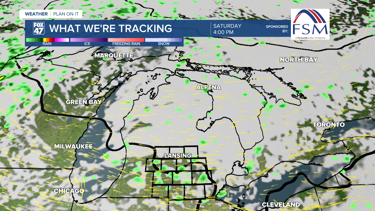
Entering the weekend, high temps in the mid 60's will continue both Saturday and Sunday. With winds out of the northwest as the low pressure system tracks northeast, a stray lake enhanced rain shower is possible with a few mid level disturbances advancing through Michigan.
What limits the chances for showers this weekend is how dry we are staying. Precipitation will struggle to reach the surface. If we do see a stray shower, impacts will remain low. Better chances for a stray shower occur Saturday.
High pressure builds in to start a new week which will allow for a warm up across our neighborhoods. By Tuesday, highs will return to the 70's with overnight lows also warming back into the 50's. These mid 70's highs will be a near return to normal. Heading into the week, no uniform chances of precipitation are expected at the moment.

Want more FOX 47 News? Here's how you download our Roku app
You can also see the latest news from across our mid-Michigan neighborhoods by liking us on Facebook or following us on X.
