
LANSING, Mich. — We are waking up this morning to rain showers with the umbrella needed when heading out the door. We will be dealing with precipitation through the afternoon hours today as an area of low pressure tracks east across the state.
WATCH THE FULL FORECAST BELOW
High temps today trend a bit below average where we will only reach the upper 70's across the board. Cloud cover will gradually decrease throughout the day, but with the abundance of clouds this morning into this afternoon, heating remains insufficient to exceed our normal high for this time of year. Winds will turn out of the north later today and into tomorrow allowing for our temps to remain in the upper 70's. We are looking to return to the 80's late in the week.

Showers remain tame this morning as their is insufficient instability to fire off any thunderstorms unlike over in the Chicago area. Tame rain showers that could produce heavy rainfall rates will last through the morning and into this afternoon where we will be able to build some instability allowing for an isolated thunderstorm chance this afternoon.
No other severe impacts are expected today other than heavy rainfall rates that could lead to some localized ponding on roadways and flooding in low lying areas. The umbrella will definitely be needed when heading out the door this morning.


With heavy rainfall rates, we could see some localized areas with over an inch of rainfall when the entire day today is done. Below you can see how much our neighborhoods could see for the entire day today from 12 AM Tuesday morning to 12 AM Wednesday.

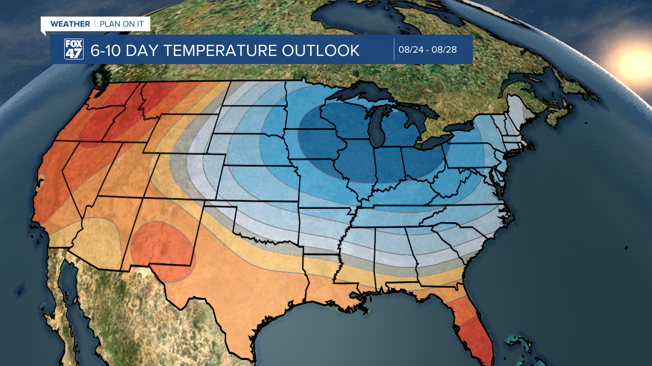
Winds will turn out of the north today with temperatures staying in the upper 70's Wednesday. More cooler conditions will be on the way once we reach late weekend and early next week where high temps could drop into the mid to lower 70's. This is feeling much more like fall than summer. This is all due to another incoming cold front that could drive possible storms on Saturday. On the back end of the cold front, winds out of the north will aid in the early next week cool down.
Midweek brings more tame weather conditions with mostly sunny skies Thursday through Friday and temps returning to the mid to lower 80's Thursday through Saturday. We will be watching our storm chances carefully this Saturday as an incoming cold front drives returning precipitation.

Want more FOX 47 News? Here's how you download our Roku app
You can also see the latest news from across our mid-Michigan neighborhoods by liking us on Facebook or following us on X.
