
LANSING, Mich. — Following a hot weekend, temperatures will begin to fall due to the return of thunderstorms in our neighborhoods. These storms are developing out ahead of a slow moving frontal passage that will make its way through the state by Wednesday.
High temperatures today could reach 90 degrees, but due to incoming showers and potential storms, we could be just shy of seeing another 90 degree day in Mid-Michigan. We will gradually cool through the week with temps returning to the mid 80's Tuesday. However, the heat is not over with.
WATCH THE FULL FORECAST BELOW
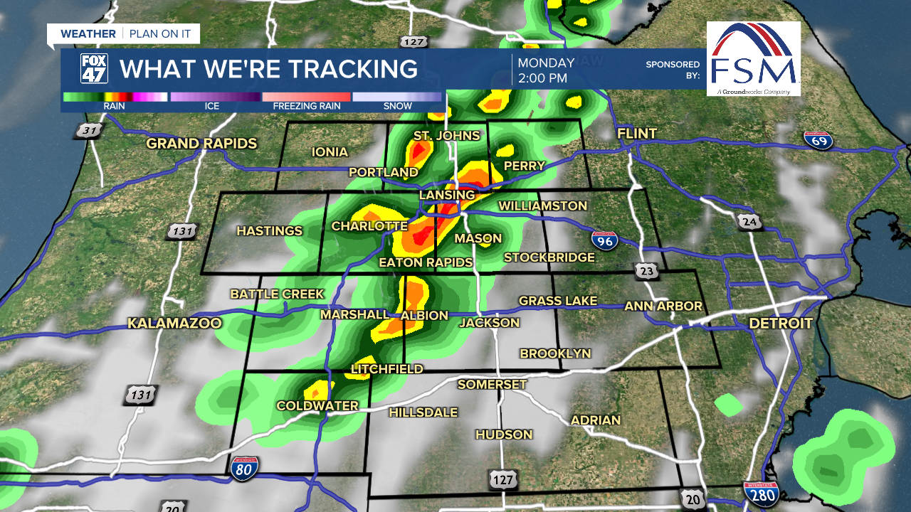
Showers could begin as early as noon today, staying tame. Thunderstorm potential could start as early as 2 PM and last through the early evening hours. Even though there is no large severe weather threat regarding this system, we could see storms produce strong winds in excess of 40 mph and heavy precipitation rates. Make sure to pack the umbrella today.
Shower and storm potential could remain overnight during the 3AM to 5AM time frame with no severe impacts expected. Storms are renewed into Tuesday with similar impacts to today as that frontal passage continues its slow track. We will be monitoring for any additional impacts we could see through this first half of the week.

With winds out of the southwest today, moisture is able to remain in our atmosphere. This allows for humid conditions to continue with dew points possibly exceeding 70 in some of our neighborhoods. We will continue to stay humid as this frontal passage tracks through both today and Tuesday with a brief reprieve from the humidity Wednesday and Thursday as high pressure settles in.

Following the brief break from storms and humidity, we will see our weather pattern switch up again allowing for more storm potential this weekend and dew points climbing back into the 60's. We will be monitoring closely for any hazardous impacts that we could see this coming weekend.

Want more FOX 47 News? Here's how you download our Roku app
You can also see the latest news from across our mid-Michigan neighborhoods by liking us on Facebook or following us on X.
