
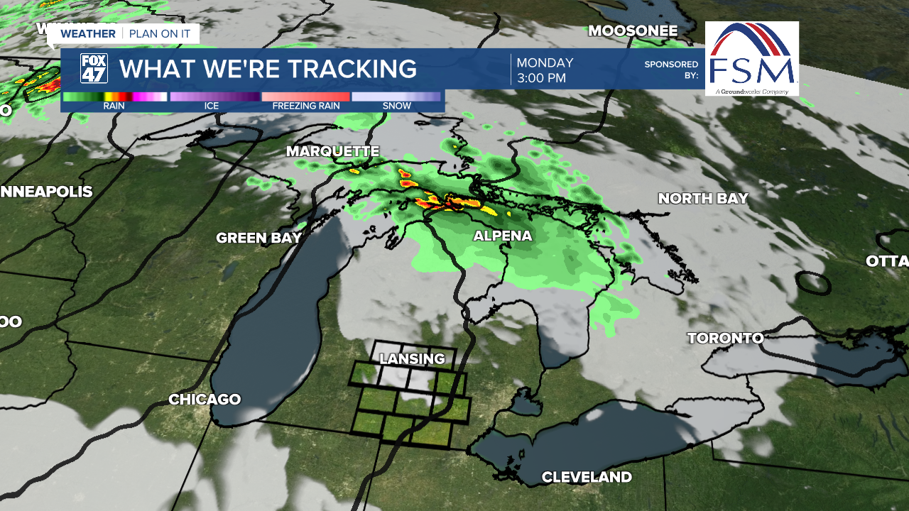
LANSING, Mich. — As we enter a new week, a line of storms weakens as it heads east across the state where we have seen tame showers move through our area. We will dry up for the rest of the day as we await the advancing warm front, ushering int extreme heat for the week.
An Extreme Heat Warning has been issued for the western half of southern Michigan with an Extreme Heat Watch issued for the eastern half of southern Michigan. The Extreme Heat Warning goes into effect at 2 PM Monday and lasts through 8 PM Thursday.

WATCH THE FULL FORECAST BELOW
Daytime highs today across Mid-Michigan should warm into the mid to lower 90's with heat index values in the upper 90's. These temperatures can be dangerous if outside for prolonged periods of time. Make sure you have a way and a space to cool off and that goes for the entire week as we continue to deal with high humidity.

Partly cloudy skies will be favored throughout the rest of the day today which should limit our development of surface ozone which is also aided in winds not yet out of the southwest. We will need to watch Tuesday and Wednesday with plenty of sunshine and winds out of the south for ozone development depleting our air quality.
We are seeing this heat arrive from an area of upper level high pressure. This ridging pattern allows for warmer air to enter the region. This pattern slowly progresses east through the week as we will see lots of sunshine as well.

Heat index values are at their greatest Tuesday through Thursday where we could see heat index values up to 105. Even as we begin to cool Friday, heat index values will remain in the 90's. This could still lead to heat related illness if outside for too long. As we progress toward the later half of the week and into the holiday weekend, we could finally see our pattern change a bit with better chances for precipitation.
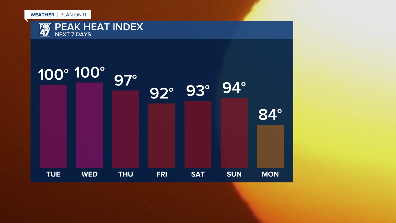
As lower pressure slowly approaches later this week, we will see our potential for showers and storms increase. We could see thunderstorms as early as Thursday PM taking us into Friday as well as the weekend. Storm potential could change throughout the week as it is very dependent on when high pressure exits the region. We will head into the weekend with continued above average temperatures with highs in the upper 80's.

Have a great weather picture or video to share? Send it our way and we may feature it on-air or online!

