


LANSING, Mich. — Observed rainfall from Wednesday was more focused in the most southeastern portion of the state of Michigan, missing our area. We will continue to stay dry today with lots of sunshine and high temperatures cooling into the lower 70's. Winds out of the north could gust up to 20 mph bringing no major impacts to our neighborhoods and aiding in near normal temperatures which are in the mid to lower 70's for this time of year.
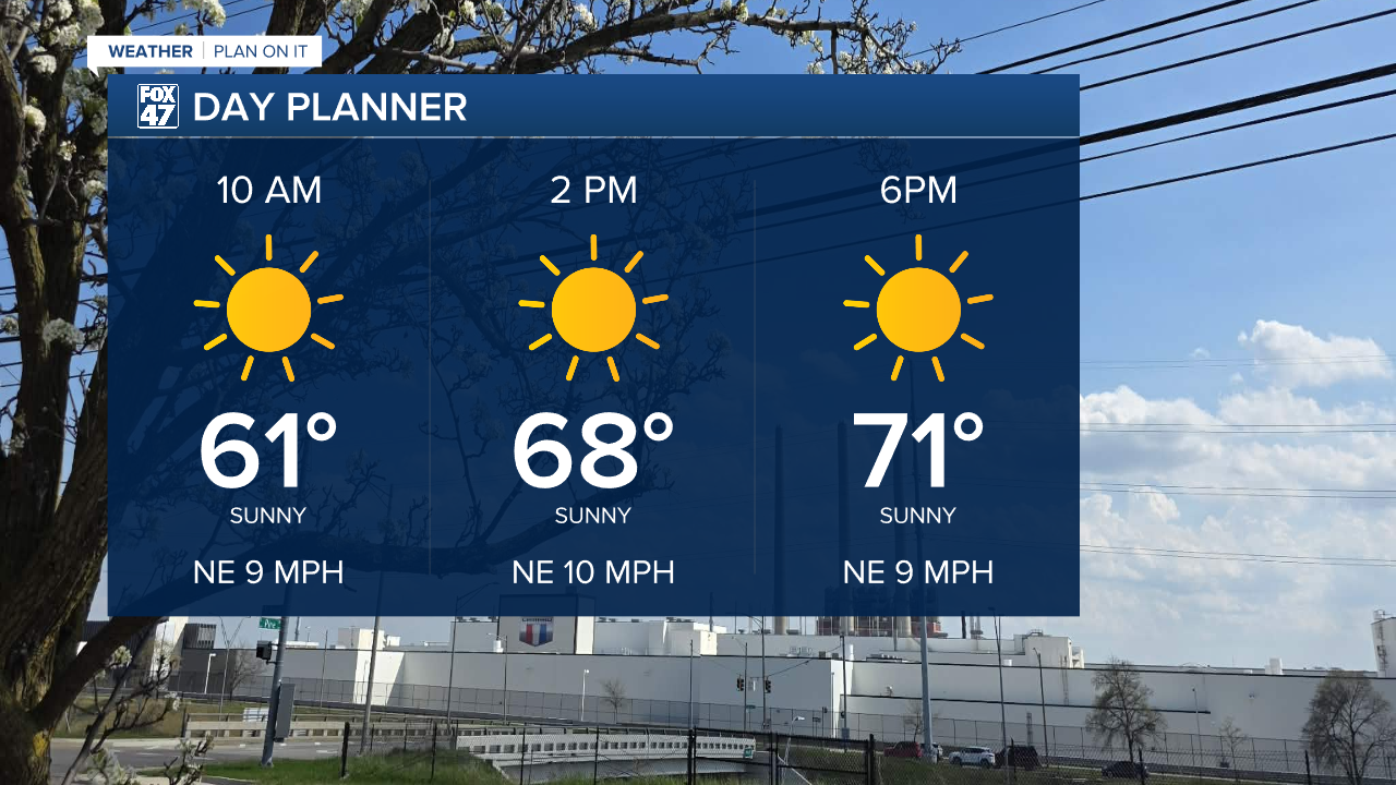
WATCH THE FULL FORECAST BELOW
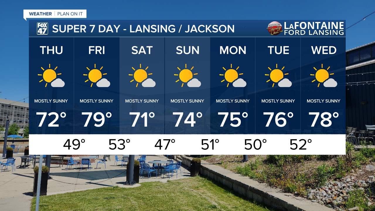
Sunshine will continue through the 7-Day period due to the presence of an omega block pattern. This pattern in the upper atmosphere is shaped like the Greek letter "omega". The pattern sandwiches high pressure between two areas of low pressure. Areas influenced by high pressure can expect dry conditions with lots of sunshine including Mid-Michigan, especially on the leading edge of high pressure. More wet conditions are expected in areas influenced by low pressure.

After the cold frontal advancement, winds turned out of the north which could gust up to 20 mph today, not causing much of a problem for outdoor activities. A weak low pressure systems drags a cold front south through Michigan overnight Friday into Saturday where we could see some wind gusts up to 30 mph. However, we are still expecting to stay dry during this time.

As we continue through the rest of the 7-Day period and head into the weekend, we will be watching for potential fire risks across Mid-Michigan. We will be closing May with below average rainfall for the month, not even exceeding 2". High temperatures remain in the 70's for the 7-Day with overnight lows, comfortable, in the upper 40's/lower 50's.
Have a great weather picture or video to share? Send it our way and we may feature it on-air or online!

