


LANSING, Mich. — Storm continue to advance through the state this morning with isolated storms possible in far southern areas as early as 8 AM this morning. We could see strong winds as a main impacts today. The Storm Prediction Center has issued a marginal risk for isolated severe storms for southern portions of Hillsdale County today. Main impacts include damaging winds gusts in excess of 50 mph.

WATCH THE FULL FORECAST BELOW
These storms are developing ahead of a passing cold front at the surface. We will have a secondary cold front advance through the area today where continue afternoon isolated storms remain possible with strong winds continuing to be the main impact. Once the cold fronts sweep through, we will be ushering in drier air and more sunshine for the middle of the week.

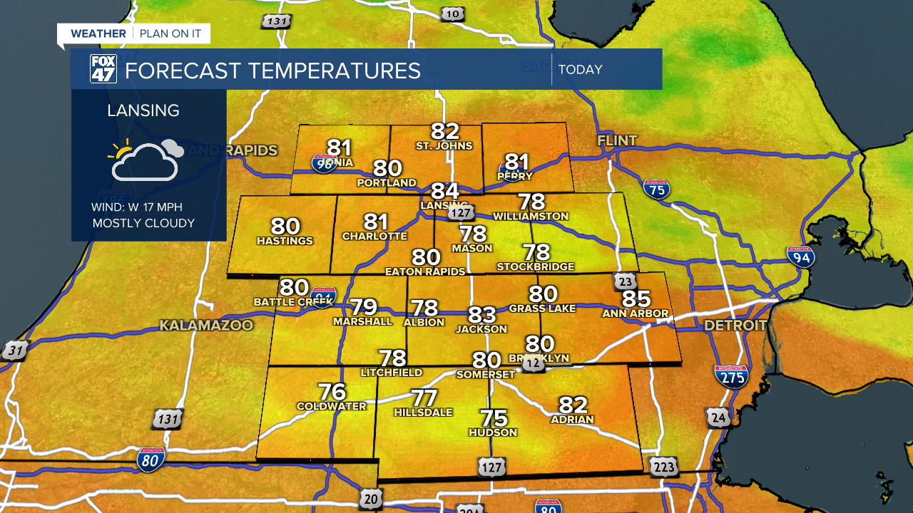
Temperatures remain near normal today for much of the area topping out in the mid to lower 80's for most. Incoming storms could cool areas down a bit throughout the day. Bring the umbrella when heading out the door and ready yourself for cooler conditions. Winds shift out of the north and cooler air will follow the cold fronts. We can expect highs in the 70's both Wednesday and Thursday. Expect lots of sunshine as well.
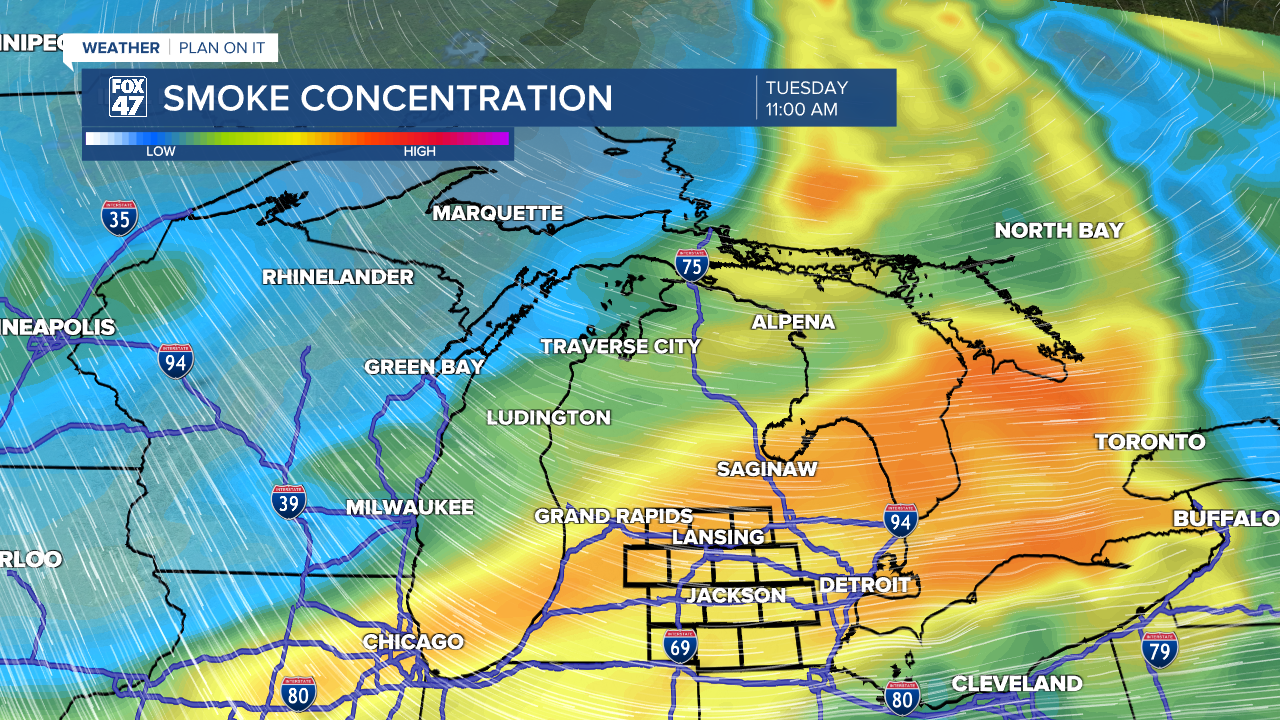
The other good news from the passing cold fronts includes the improved air quality conditions. As of this morning, we are still monitoring air quality in southern Michigan in the Unhealthy for Sensitive Groups range. This could continue on as we wait the passing cold fronts to take surface smoke away from Michigan, allowing for better conditions beginning Monday. We could still see haze throughout the day today.
Sunshine sticks around Wednesday through Saturday with temperatures gradually on the rise. We will be back to the 80's beginning Friday with returning chances for thunderstorms taking us into a new week Sunday and Monday.

Have a great weather picture or video to share? Send it our way and we may feature it on-air or online!

