
LANSING, Mich. — We continue to feel like fall Wednesday morning with temps in the 40's across our neighborhoods as we wake up. A brief warmup will commence today as surface high pressure builds in south of the state of Michigan.
This shift in our winds will allow for warmer air from the south to creep into our neighborhoods. Highs today will reach the mid 70's. This is still a bit below average for this time of year, however.

WATCH THE FULL FORECAST BELOW
Wednesday starts off with clear skies through the mid morning hours with cloud coverage gradually increasing throughout the day. We will be staying dry as an incoming cold front will allow for the increase in cloud coverage this afternoon.
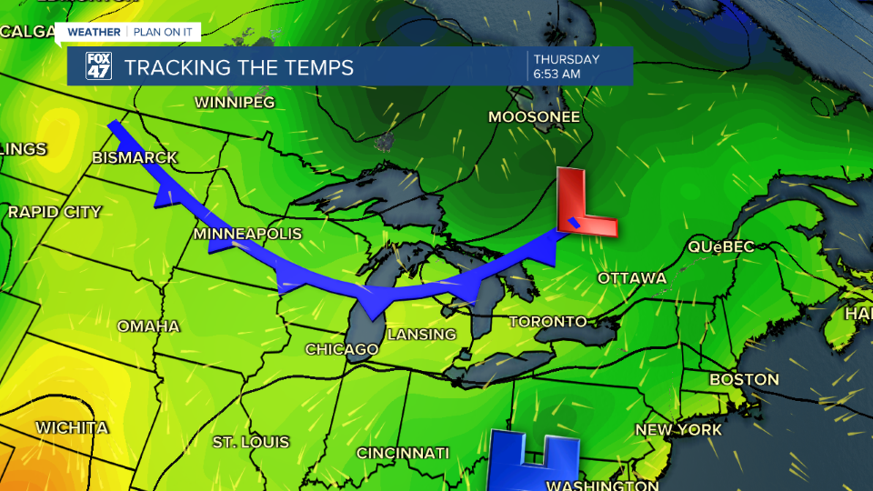
This cold frontal passage will swoop through our neighborhoods during the day Thursday with numerous showers more focused in the AM hours as early as 8 AM and turning scattered from the early afternoon to early evening hours. These scattered showers could produce some rumbles of thunder with no severe impacts expected.

Conditions outside in our neighborhoods should improve by the time we reach 8 PM, Thursday evening. Behind the cold frontal passage, high pressure will build into the region allowing for tame weather conditions. We can expect sunshine and fall like temperatures through Friday with a gradual warm up commencing this Labor Day weekend.

Want more FOX 47 News? Here's how you download our Roku app
You can also see the latest news from across our mid-Michigan neighborhoods by liking us on Facebook or following us on X.
