
LANSING, Mich. — The groundhogs have spoken and both Woody and Phil have predicted 6 more weeks of winter and it is feeling like it outside with the continued snowfall. Up to an inch and a half was observed in northern neighborhoods like Lansing and Laingsburg with snow and even some freezing drizzle allowing for deteriorated travel conditions.
Tuesday morning brings the chances for continued travel hazards like slick spots and limited visibility as light snow remains possible ahead of a passing cold front. This cold front will turn wind out of the north today, keeping lake effect snow further along the lake shore.
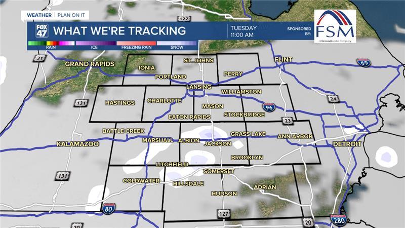
WATCH THE FULL FORECAST BELOW
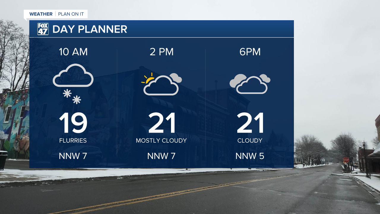
Temperatures today will cool following these passing cold fronts, however, highs will remain above 20 degrees making rock salt effective for curing roadways today. Cloudy skies will continue into the afternoon hours as snow accumulations should stay on the light side.
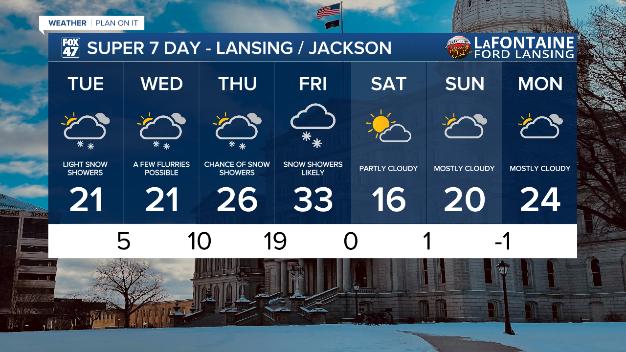
Wednesday, ahead of an incoming shortwave, lake effect snow will weaken as it tracks inland with flow shifting out of the west again. This will occur during the afternoon hours Wednesday with the snowfall expected to weaken quickly with light snow possible with low impacts. We will stay mostly cloudy during the day Wednesday. A passing shortwave trough at the surface allows this snow to make its way into our neighborhoods.

Better chances for impactful winter weather arrive with the shortwave on Thursday as a round of uniform snow showers tracks through our neighborhoods throughout the day from the late morning hours all the way past the Thursday evening commute. Another round of snow is expected on Friday. Accumulations as of the moment remain on the lighter side with 1-2" possible. However, travel hazards still remain possible Thursday evening into Friday.

Temperatures will gradually warm with shifting winds out of the south ahead of the shortwave with a chance to see temps warm at or above freezing on Friday breaking our streak of below freezing temperatures in Lansing currently at 15 days. Following snowfall Friday, temperatures will drop to the teens with partly cloudy skies heading into the weekend.
Want more FOX 47 News? Here's how you download our Roku app
You can also see the latest news from across our mid-Michigan neighborhoods by liking us on Facebook or following us on X.
