
LANSING, Mich. — Showers and storms from Tuesday brought heavy rainfall and flooding to neighborhoods just west of Jackson, Eaton, and Clinton counties. Our neighborhoods were able to see some rainfall with impacts staying minimal other than heavy rainfall and gusty winds.
Battle Creek was able to break the record rainfall for the given date 08/12 with 3.73" of rainfall observed. Below, you can see more rainfall reports from our neighbors to the west and north which saw the heaviest rainfall Tuesday.

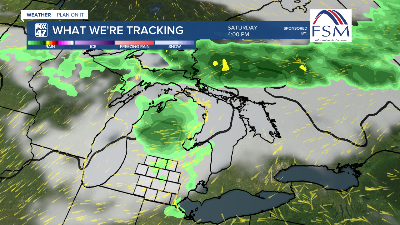
WATCH THE FULL FORECAST BELOW
As that line of showers and storms continues its track east, away from Michigan, we will see our cloud cover gradually decrease throughout the day. This will allow for mostly sunny skies this afternoon with high temps a bit cooler in the mid 80's.

As high pressure builds into the region, tame weather conditions will be favored through Friday with gradually cooling temperatures through Thursday where we could see lows in the upper 50's and highs in the lower 80's. We will stay dry through Friday where mostly sunny skies will be favored.
High pressure also brings drier air to our neighborhoods with the humid conditions backing off gradually today and staying comfortable Thursday before taking another gradual rise beginning Friday and through the weekend into next week.

As humidity climbs, shower and storm potential will return to our neighborhoods this weekend. Saturday is expected to start clear and tame then turn a bit cloudy in the afternoon with an isolated shower and storm possible as more uniform showers and storms are favored Sunday and into the brand new week.
Temps on Saturday could reach 90 degrees with another gradual cool down expected as we progress through next week. Shower potential remains through Tuesday. However, we could still see some changes to how this changing weather pattern shakes out early next week and we will be watching closely.

Want more FOX 47 News? Here's how you download our Roku app
You can also see the latest news from across our mid-Michigan neighborhoods by liking us on Facebook or following us on X.
