
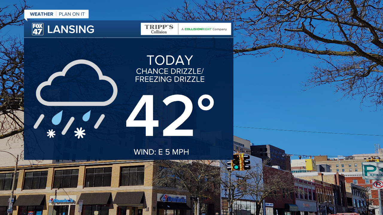
LANSING, Mich. — A lot of our neighborhoods warmed into the mid to upper 30's yesterday with continued warming today with highs expected to reach the mid to lower 40's. Unlike yesterday, we will be seeing more cloud cover throughout the daytime hours with some light drizzle possible. The AM hours could bring some freezing drizzle across our neighborhoods with no major impacts expected as we are still lacking ample moisture.
WATCH THE FULL FORECAST BELOW
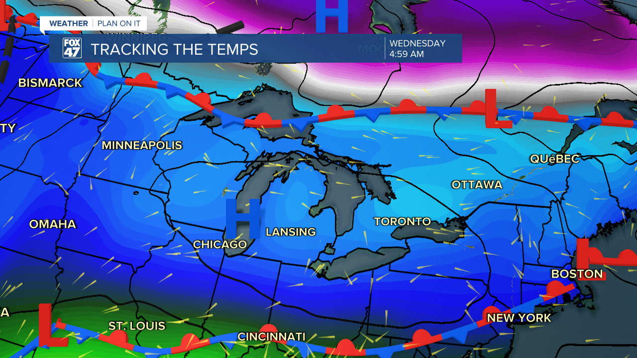
Warm moist air from the south continues to struggle to reach our neighborhoods as an area of high pressure will advances through the region overnight tonight bringing some clearing to our skies. Overnight lows will drop below freezing still allowing for another cold morning for Wednesday. We will continue to warm Wednesday with chances for a few showers mainly in the PM hours. Without ample moisture, impacts will remain minimal for Wednesday with some possible parting in clouds during the daytime hours.
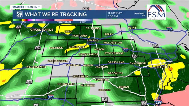
Moisture returns to our neighborhoods Thursday with steadier rainfall rates making the umbrella needed Thursday through Saturday. This moisture will also be paired with warmer temperatures reaching the 60's by Friday.
Thursday's showers will come to an end before Friday morning, but round two arrives during the evening hours Friday with building instability allowing for the chance for a thunderstorm Friday night through Saturday as. cold front approaches and advances through Saturday. At the moment, impacts for late this week include rumbles of thunder, high winds, and heavier precipitation rates.

We dry up heading into Sunday as we lose an hour of sleep due to Daylight Saving Time. We will still see mild temperatures with partly cloudy skies heading into the new week.


Want more FOX 47 News? Here's how you download our Roku app
You can also see the latest news from across our mid-Michigan neighborhoods by liking us on Facebook or following us on X.
