
LANSING, Mich. — Mostly cloudy skies this evening will eventually give way to returning showers overnight. This as Tuesday's cold front begins to track back toward the north. Showers will begin to break out after 2:00 AM, becoming a steadier and widespread rain by daybreak. With temperatures hovering in the low to mid 30s, pockets of freezing rain could develop, mainly north of I-96. Expect soggy conditions on the morning commute, and stay alert for potential icy spots.

Rain and possibly some embedded thunderstorms will continue to track north on Thursday morning. We'll settle into a break in the rain around midday, when the now-warm front to our south begins to lift across the region. With temperatures climbing, the atmosphere will begin to destabilize, and new showers and thunderstorms will begin to develop after 3:00 PM. Temperatures will eventually find their way back into the mid 60s later in the evening.

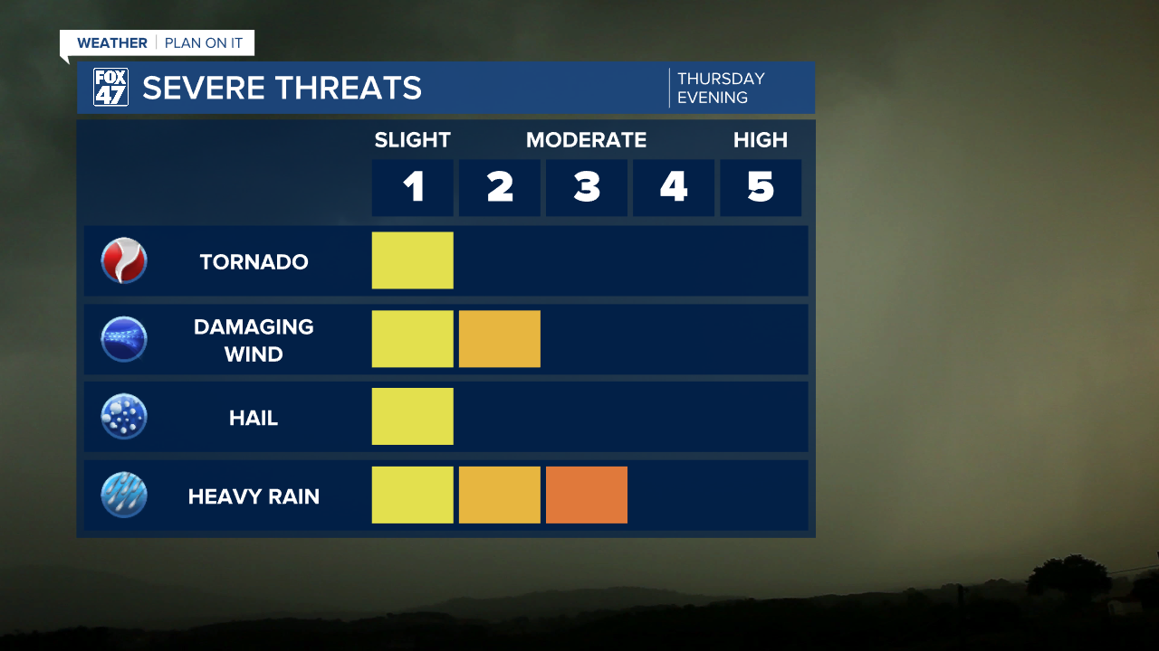
These storms will be isolated initially, but will become more numerous between 7:00 PM and midnight. Severe weather will be possible with any of the afternoon or evening storms on Thursday, but the risk will be greatest after 7:00 PM. Damaging winds are the greatest concern along with the potential for isolated tornadoes. The chance for large hail is very low given expected warmer temperatures aloft.
Thunderstorms taper off after midnight Thursday, with some leftover showers possible into Friday morning. A few additional showers will be possible in the afternoon, but the day will be much drier overall. Staying mild too, with highs still set for the mid 60s.
GET YOUR FOX 47 FORECAST HERE
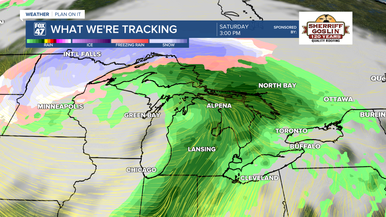
Another storm system sweeps into the Great Lakes on Saturday, bringing another round of showers and thunderstorms with it. Highs will remain mild for one more day in the upper 60s, followed by a drop back to the mid 40s for Easter Sunday.
Have a great weather picture or video to share? Send it our way and we may feature it on-air or online!

