
LANSING, Mich. — Overnight:
Snow and blowing snow will cause hazardous travel conditions after midnight. Wind gusts over 50 mph could cause power outages and downed trees on Monday. The gusty winds will cause some blowing and drifting snow to reduce visibility.
Temperatures should reach an overnight low of 27°F. Both freezing rain and lake effect snow will begin to move into neighborhoods overnight. Winds are expected to gust out of the SW at about 47mph at times.
Monday:
Lake effect snow showers continue. 2-5" of accumulation is possible. Strong winds, gusting in the 50s at times, will cause visibility issues on the roads. The winds are also likely to blow down tree branches or trees and cause power outages in some areas. Temperatures are expected to reach highs of about 28°F and a low of 19°F.
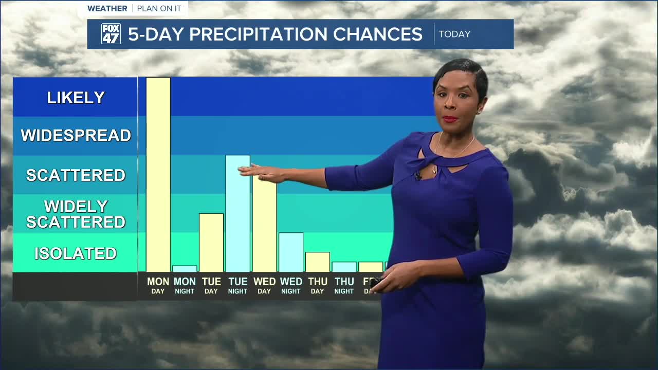
Tuesday-Thursday:
Mostly cloudy conditions prevail each day with additional chances for scattered snow showers. Temperatures stay in the 20s, so bundle up!
Friday-Sunday:
Cold temperatures continue with highs in the 20s. Mostly cloudy conditions prevail with occasional moments of sunshine. Flurries are possible to blow around, but we expect to be mainly dry these days.
Want more FOX 47 News? Here's how you download our Roku app
You can also see the latest news from across our mid-Michigan neighborhoods by liking us on Facebook or following us on X.
