


LANSING, Mich. — Following the gorgeous weather we enjoyed over Mother's Day weekend, things are beginning to trend in a more unsettled direction. Clouds that have slowly gathered in our skies on Monday will continue to pile in over the course of the evening as a sprawling low pressure system over the Tennessee Valley moves northward. No need to reach for the umbrella just yet though, as showers are expected to hold of until after 11:00 PM. Evening temperatures will gradually cool back into the middle and upper 60s.

Showers will begin to rotate in from the south around midnight, starting in our southern neighborhoods around Jackson and Hillsdale. Wet weather will track northward across the rest of the region overnight, and could be accompanied by an isolated rumble of thunder. Lows will remain mild, only falling to around 60 degrees.

As low pressure continues to track northward toward the Great Lakes on Tuesday, skies will remain mostly cloudy throughout the day. Hit-or-miss showers and thunderstorms will be possible, especially during the afternoon and evening due to daytime heating. Severe weather is not expected, but keep an eye to the sky and be prepared for gusty winds and a few heavy downpours. Highs Tuesday will be held back a bit by the clouds and showers, but will still be comfortably warm in the low 70s.
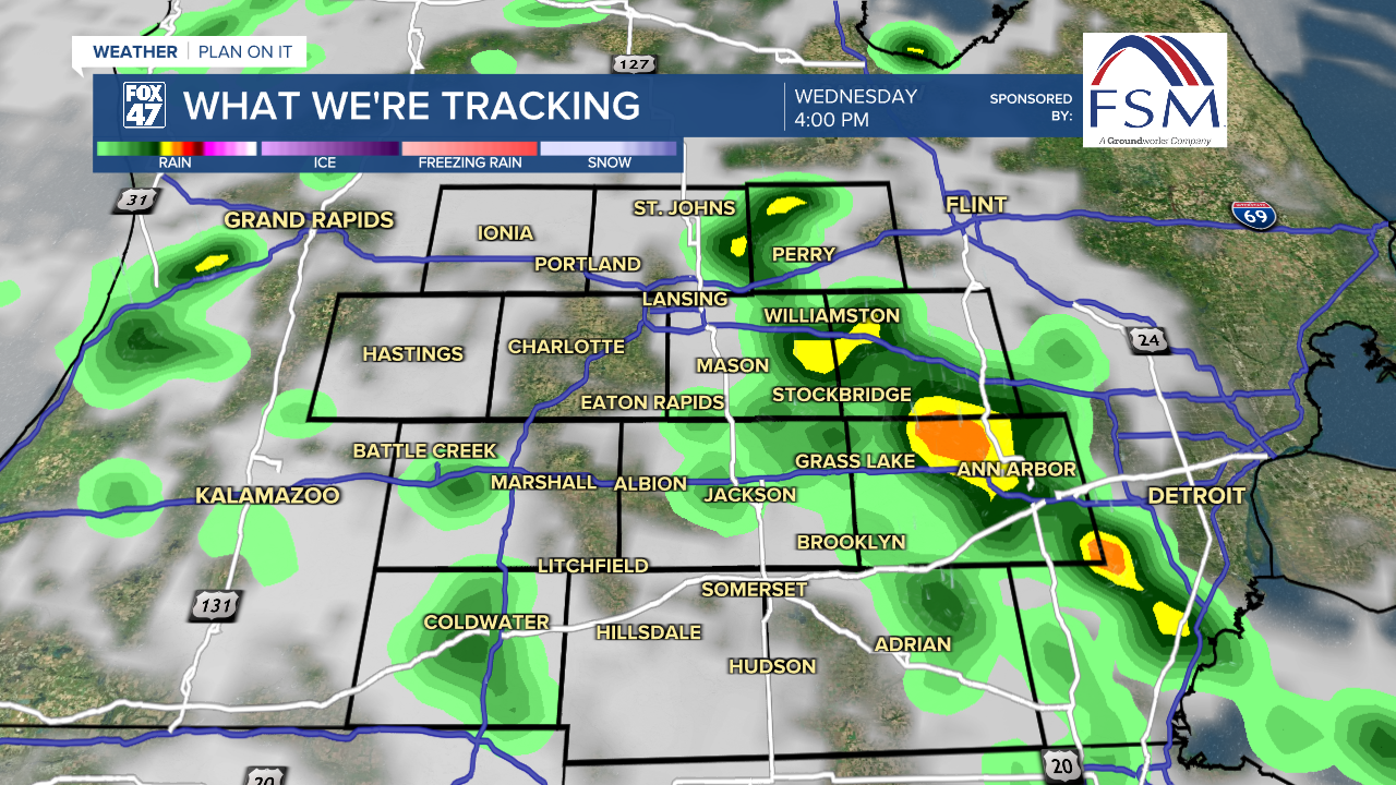
Rinse and repeat on Wednesday with another round of scattered storms expected as low pressure pivots overhead. Highs will remain at similar levels in the mid 70s, before a jump to the low 80s as we break into a little more sunshine on Thursday. A few more showers and storms will be possible Thursday afternoon on the back side of the low, so we won't be entirely in the clear just yet.

That comes on Friday, with clouds finally giving way to mostly sunny skies. We'll hang on to the upper 70s to close out the work week before a new disturbance ushers in some cooler air for the weekend. Saturday will come with the chance for a few showers under mostly cloudy skies, followed by drier weather on Sunday. Highs will be held to the middle and upper 60s.
Want to learn more about the Weather? Visit the FOX47News Website.
Stay in touch with us anytime, anywhere.
Sign up for newsletters emailed to your inbox.
Select from these options: Breaking News, Severe Weather, School Closings, Daily Headlines and Daily Forecasts.
