
LANSING, Mich. — Overnight: Partly cloudy skies with mild temperatures reaching lows of about 68°F.
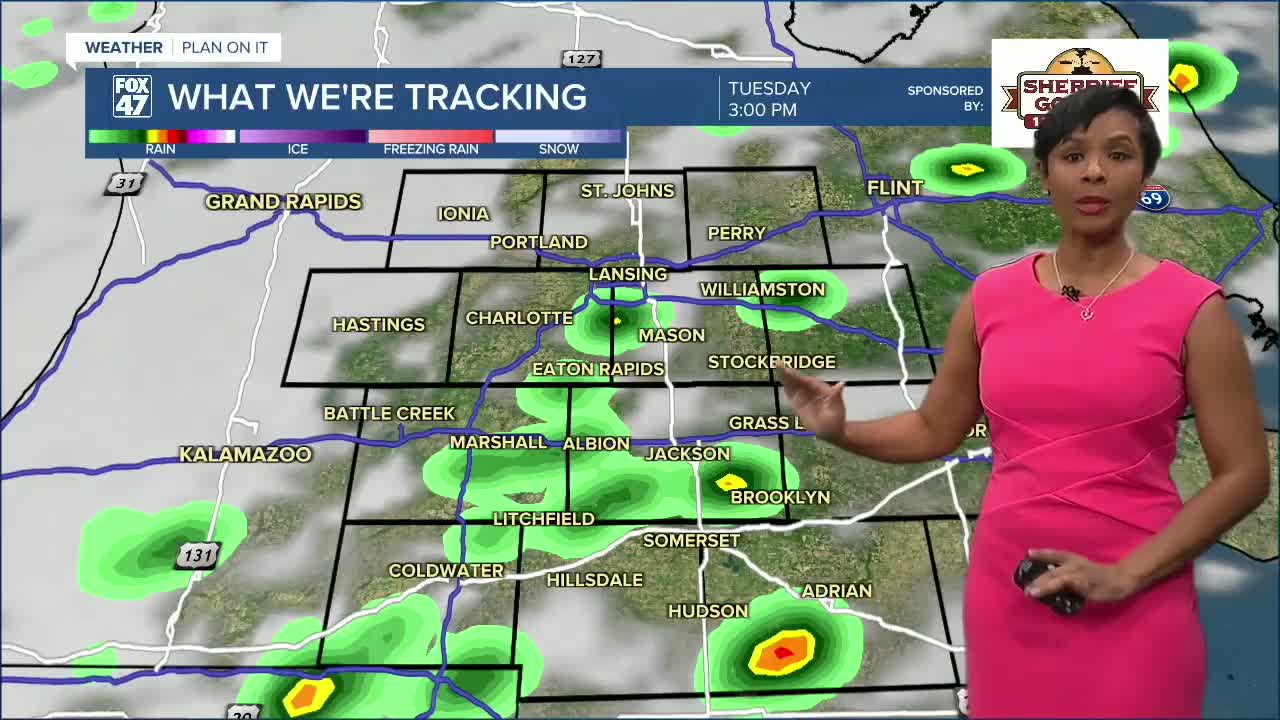
Monday-Tuesday- It's a wet start to the workweek with showers and thunderstorms that have the potential to become severe. The thunderstorms on Monday will be more widespread and carry the best chances to become severe. While isolated showers pop up early, thunderstorm activity is not expected until the afternoon hours. Hail, strong winds, and heavy downpours of rain are the biggest threats. This could impact your ability to see, especially if you are driving. The warm front continues to keep things hot, topping out at 87°F, then 84°F. But Tuesday night, a cold front is going to drop the temperatures back to lows in the 40s overnight, and kick off a cooler stretch of days.
Wednesday-Friday: The cooling trend continues to keep temperatures in the low 60s, then upper 60s by Friday, but partly to mostly sunny skies will bring pleasant conditions.
Saturday-Sunday: Partly sunny skies and temperatures in the low to upper 70s will make for a pleasant start to the weekend. However, isolated showers are expected to pop up at times.
Have a great weather picture or video to share? Send it our way and we may feature it on-air or online!

