LANSING, Mich. — We are watching very closely for potential severe storms in our neighborhoods Thursday evening. An area of surface low pressure producing severe t-storm warnings this morning in Minnesota will slowly track east throughout the day today. This low will deepen as an affiliated occluded frontal passage will advance through our neighborhoods this evening.

WATCH THE FULL FORECAST BELOW
This occluded front will act as ascent and a driver for producing storms this evening that could turn severe. The Storm Prediction Center has furthered the Enhanced Risk into our neighborhoods with all severe impacts on the table for tonight.

These impacts included damaging winds with gusts possibly exceeding 75 mph, 2.5" in diameter hail (size of a hen egg), and a few tornadoes. Make sure to know your severe weather plan if we do see any developments this evening.

Timing for these storms should stay past midnight. This means that we will start to see a broken line start to organize once the storms reach our neighborhoods. The storms are looking to enter the state of Michigan at around 8 PM this evening with our neighborhoods looking to see storms from 10 PM to 1 AM tonight.

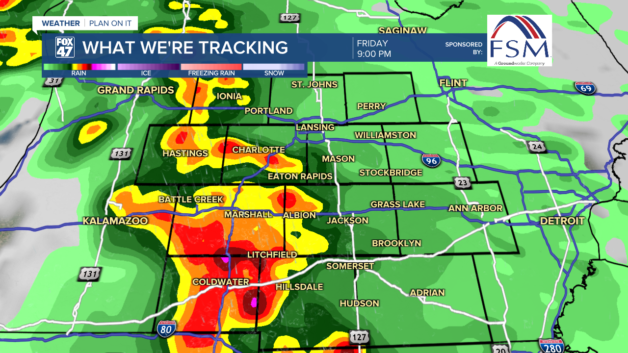
Following the storms this evening, we will dry out with dew points falling Friday afternoon with a mid level trough making its way towards our neighborhoods. This trough will drive more storm chances Friday evening. At the moment, the most southern area of Hillsdale County is under a Marginal Risk for severe weather for damaging winds and hail. We will be watching these storms closely as we close the week.
We will cool down for the weekend with high temperatures in the lower 60's with chances for shower on Saturday and Midweek next week.
WATCH BELOW TO LEARN MORE ABOUT TORNADO SAFE SPACES & THE DIFFERENCE FROM A WATCH & WARNING
Want to learn more about the Weather? Visit the FOX47News Website.
Stay in touch with us anytime, anywhere.
Sign up for newsletters emailed to your inbox.
Select from these options: Breaking News, Severe Weather, School Closings, Daily Headlines and Daily Forecasts.
