
MID-MICHIGAN — We have increased clouds as well as a few passing showers early this morning as the warm front of a larger system out West moves into the Midwest region. We will be mainly dry and cloudy otherwise the rest of the day. Temperatures will still reach the low to mid 70s today with the southerly breeze. The system will eventually move over the Great Lakes, which will bring us widespread showers mostly Tuesday afternoon and evening and Wednesday. Temps will be in the mid to upper 60s on Tuesday as the rain moves in, but cooler temperatures behind the cold front and rain bring us back to the 50s for the middle and end of the week. Thursday features partly cloudy skies and low 50s. The remainder of the week looks to be dry and cool.
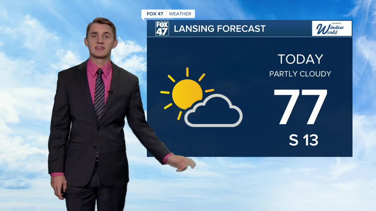
TODAY: Chance of hit-or-miss showers in the morning, followed by a brief window of sun and mostly cloudy in the late afternoon. Highs in the lower 70s. Winds south at 10 to 15 mph.
TONIGHT: Mostly cloudy. Lows in the upper 50s.
TUESDAY: Mostly cloudy with scattered mostly PM showers as a cold front presses through the state. Highs in the upper 60s.
WEDNESDAY: Cloudy with scattered showers. Temperatures rise to the mid 50s.
THURSDAY: Partly cloudy skies. Highs reach the mid 50s.
FRIDAY: Partly cloudy skies. Highs in the upper 50s.
SATURDAY: Mostly sunny. Highs in the upper 50s.
Want to learn more about the Weather? Visit the FOX47News Website.
Stay in touch with us anytime, anywhere.
Sign up for newsletters emailed to your inbox.
Select from these options: Breaking News, Severe Weather, School Closings, Daily Headlines and Daily Forecasts.
