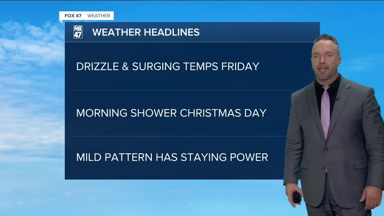


MID-MICHIGAN — Happy Thursday! A few light snow showers and some drizzle will take shape this morning and afternoon, under mostly cloudy skies. Take your time while traveling this morning, as there could be some slick spots on the secondary roads. Temperatures reach the upper 30s today, with light winds. As of now, temperatures will be above freezing for the upcoming Christmas holiday. A system moves into West Michigan in the afternoon on Christmas Eve, generating breezy conditions and light rain or drizzle. A lingering shower is possible on Christmas Day, but most of your Christmas Day will be dry with cloudy skies. Travel conditions look to be decent for the holiday, as most will have a green Christmas. Check back for updates on this holiday system throughout the week for any changes.
TODAY: Mostly cloudy. Chance of light snow showers, perhaps some drizzle. Some grassy accumulations are possible. Highs in the mid/upper 30s. Winds south/southwest at 5 to 15 mph.
TOMORROW/CHRISTMAS EVE: Cloudy and breezy. Afternoon and evening drizzle and light rain. Highs in the mid to upper 40s.
SATURDAY/CHRISTMAS DAY: Mostly cloudy. A slight chance of rain. Highs in the lower 40s.
SUNDAY: Mostly cloudy. A wintry mix develops late in the evening. Highs in the upper 30s.
MONDAY: Mostly cloudy with a rain/snow mix chance. Highs in the upper 30s
Want to learn more about the Weather? Visit the FOX47News Website.
Stay in touch with us anytime, anywhere.
Sign up for newsletters emailed to your inbox.
Select from these options: Breaking News, Severe Weather, School Closings, Daily Headlines and Daily Forecasts.
