

MID-MICHIGAN — Today kicks off with a mix of sun and clouds, but clouds will be on the increase by late this evening due to an approaching system. This storm system will bring a mix of rain, snow, freezing rain, and strong wind gusts. Accumulating snow is likely especially along/north of I-96. Communities extending through Grand Rapids and Holland are expected to receive 1" to 2" of snow accumulation by Saturday night. Higher snow totals (2" to 4") are likely north of I-96, closer to Muskegon and Big Rapids. Isolated higher amounts are possible, especially near Big Rapids. Wind gusts up to 45 mph are possible, which could lead to isolated power outages. For more information about this weekend's system, click HERE. Any snow accumulation will quickly melt on Sunday as warmer air and sunshine return. The start to the work week will feature cooler than average temperatures with partly to mostly cloudy skies.
TODAY: Partly cloudy skies. Highs in the upper 40s. Rain/snow develops after midnight. Winds northeast/east at 5 to 15 mph.
TONIGHT: Cloudy & breezy with a wintry mix. Lows in the lower 30s.
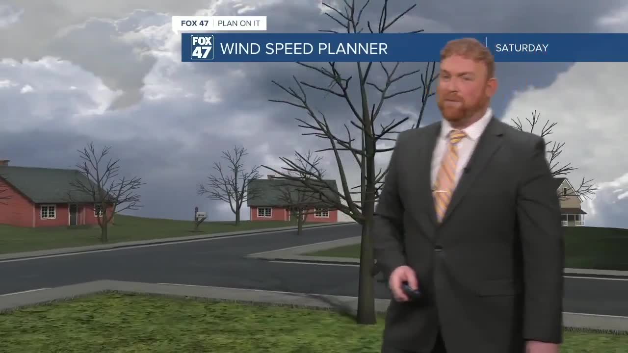
SATURDAY: Cloudy and windy with a mix of rain and snow. Freezing rain will be possible near I-96. Accumulating snow is likely, especially north/west of Grand Rapids. Highs in the upper 30s to lower 40s. Winds will gust as high as 45 mph.
SUNDAY: Mostly sunny to partly cloudy. Highs in the middle 40s.
MONDAY: Mostly cloudy. Highs in the lower 40s.
TUESDAY: Mostly cloudy. Low chance of light rain and snow. Highs in the lower 40s.
Want to learn more about the Weather? Visit the FOX47News Website.
Stay in touch with us anytime, anywhere.
Sign up for newsletters emailed to your inbox.
Select from these options: Breaking News, Severe Weather, School Closings, Daily Headlines and Daily Forecasts.
