
LANSING, Mich. — Mid-Michigan is seeing another round of active weather overnight as rain and thunderstorms continue moving across the region.
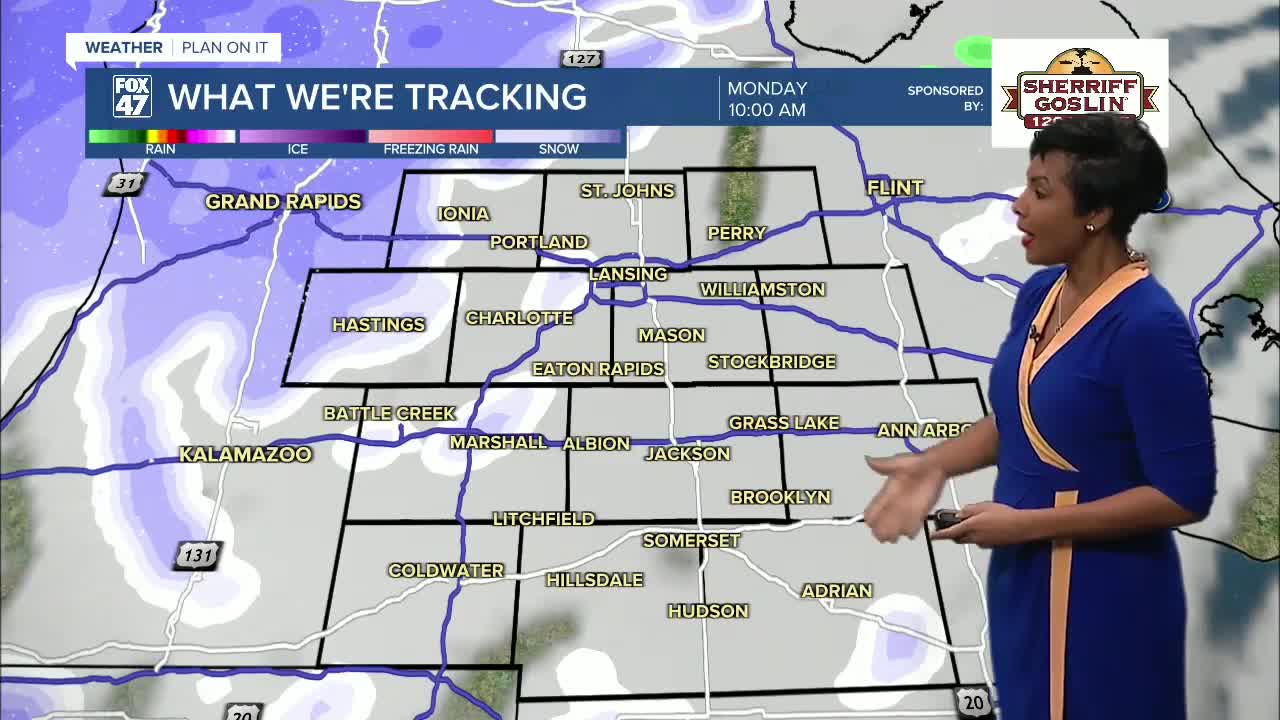
Several communities, including St. Johns, Perry, Portland, Charlotte, and Jackson, have been seeing pockets of heavier rain, and a few isolated thunderstorms are still popping up in some areas.
Some neighborhoods, particularly Coldwater and Hillsdale, remain under a slight risk for severe thunderstorms, while much of Mid-Michigan is under a marginal risk for severe weather through the overnight hours.
A Severe Thunderstorm Watch is in effect until about 2 a.m., and a Wind Advisory continues through Monday evening as strong winds develop behind the storms.
Storms Move Out Overnight
The line of showers and thunderstorms will gradually shift east overnight. By around 3 a.m., the main storm system should move out of the area.
However, the break in precipitation won’t last very long.
By early Monday morning, some areas could briefly see light rain or freezing rain before colder air moves into the region.
Snow Showers and Strong Winds Monday
As temperatures continue to drop Monday morning, precipitation will transition into light snow showers. We’ll likely see several rounds of lake-effect snow bands move through the area throughout the day.
Snow accumulation across the Lansing and Jackson areas should stay fairly light.
- Lansing and Jackson: around half an inch of snow
- Ionia and areas farther west: up to 1.5 inches
The heaviest snow from this system will fall farther west and north of our area, including places like Muskegon and Hart.
Even though snow totals will stay relatively light locally, the wind will be the bigger story.
Wind gusts could reach 40 to 45 mph Monday, which may lead to blowing snow and reduced visibility at times.
Colder Air Moves In to Start the Week
After the overnight thunderstorms and Monday’s snow showers, much colder air settles into Mid-Michigan.
High temperatures Monday will only reach about 37 degrees, and the gusty winds will make it feel even colder.
So yes, it’s time to pull the winter coat back out for the start of the work week.
Warmer Weather Returns Later This Week
Conditions improve as we move deeper into the week.
We’ll dry out on Tuesday, followed by scattered rain showers Wednesday and Thursday.
Temperatures will begin climbing again, reaching the 50s by the end of the work week before quieter weather returns for the weekend.
7-Day Forecast for Lansing & Jackson
Monday: Scattered snow showers — High 37°
Tuesday: Mostly cloudy and colder — High 25°
Wednesday: Chance of snow showers — High 38°
Thursday: Chance of rain — High 51°
Friday: Mostly cloudy — High 54°
Saturday: Partly cloudy — High 54°
Sunday: Partly cloudy — High 46°
The Bottom Line
Mid-Michigan will quickly transition from overnight thunderstorms to snow showers and strong winds Monday as colder air moves into the region.
The good news is temperatures will gradually rebound later in the week, bringing milder conditions by Friday and into the weekend.
Want more FOX 47 News? Here's how you download our Roku app
You can also see the latest news from across our mid-Michigan neighborhoods by liking us on Facebook or following us on X.
