

Today will be the hottest and most humid day of the holiday weekend as high pressure reasserts control over the region. This will stabilize the atmosphere enough to keep showers and thunderstorms out of the picture, but it will be a sweltering day under mostly sunny skies. With highs climbing to the low 90s, heat indices will reach as high as the mid and upper 90s at times. Make sure to keep cool and hydrated if spending extended time outdoors.
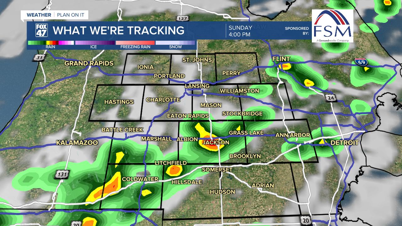
A cold front sweeps into the region on Sunday, bringing scattered thunderstorms in during the afternoon. Some of the storms could produce gusty winds, heavy downpours, and frequent lightning, so make sure to keep a close eye on the sky if you have outdoor plans.
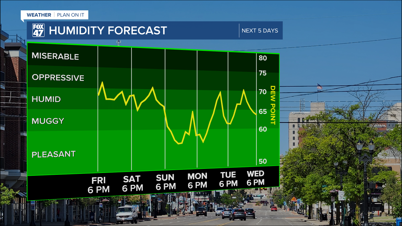
The cold front ushers in a milder and less humid air mass for the first part of next week. After a leftover thunderstorm Monday morning, skies will clear with a more pleasant afternoon of highs in the low 80s. Mostly sunny skies continue on Tuesday with highs in the mid 80s, then some returning humidity bring the potential for pop-up storms back to the region Wednesday through Friday.

Want to learn more about the Weather? Visit the FOX47News Website.
Stay in touch with us anytime, anywhere.
Sign up for newsletters emailed to your inbox.
Select from these options: Breaking News, Severe Weather, School Closings, Daily Headlines and Daily Forecasts.
