
LANSING, Mich. — A Flood Watch remains in effect for several Mid-Michigan communities until 11 a.m., as heavy rain continues to move through parts of the region.
Rain Totals Already Climbing
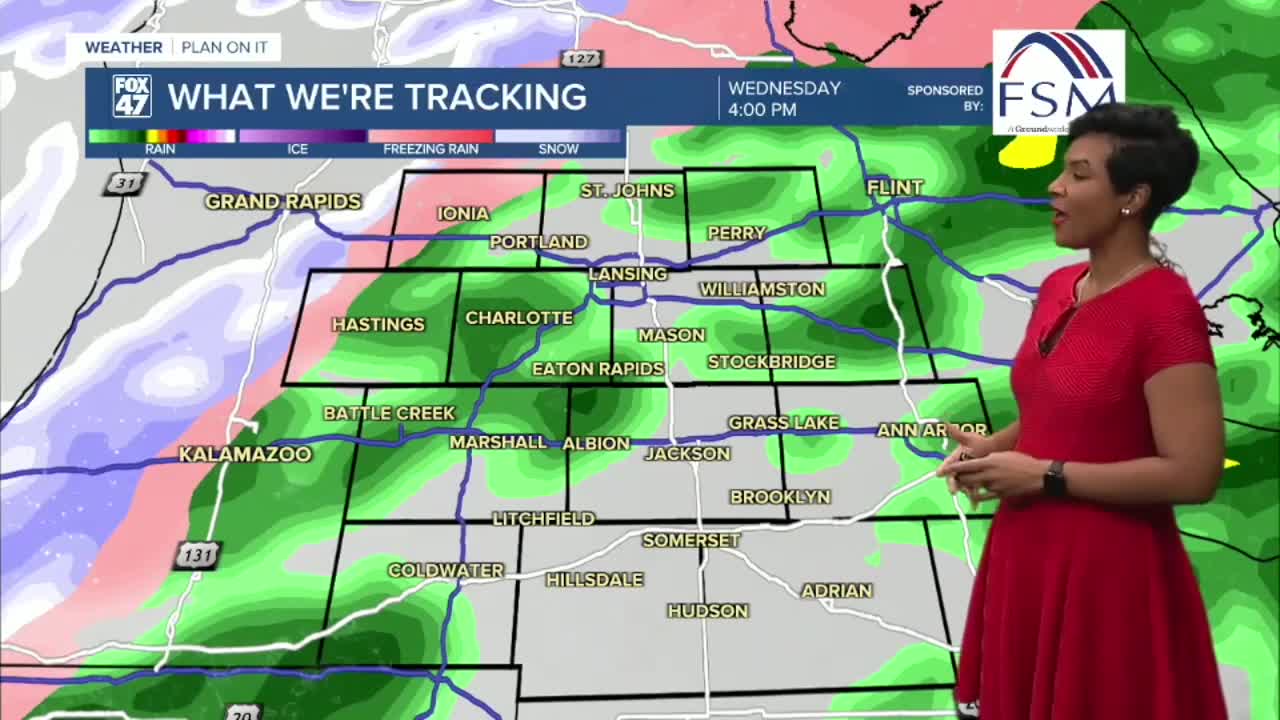
Some communities have already seen significant rainfall in the past 24 hours.
- Lansing: Nearly 1 inch of rain
- Charlotte: About 1.7 inches of rain
- North of St. Johns, 3.3 inches or rain
More rainfall is still expected through the morning hours as additional rounds of showers move through.
Neighborhoods may see brief breaks in the rain, but more pockets of heavy rainfall could develop throughout the morning.
Areas around Hudson and Adrian have already experienced heavier rainfall, while other communities have seen lighter but steady showers.
Storms Expected to Weaken Later Today
Thunderstorm activity is expected to diminish over the next few hours, but scattered rain showers will likely continue into the afternoon.
By lunchtime, many neighborhoods should begin drying out temporarily, although additional rain may redevelop later in the day.
Some areas could even see freezing rain by late afternoon as temperatures begin to cool and colder air moves into the region.
Conditions should gradually improve this evening, with most areas turning dry by around 7 p.m.
Quiet Weather Thursday Before Messy End to the Week
After today’s active weather, Thursday brings a brief break.
Expect mostly sunny skies and calmer conditions, with highs around 41 degrees.
Clouds will increase late Thursday, then snow showers will begin to fall again as another weather system moves in.
Snow and Freezing Rain Possible Friday
A clipper system will move into Mid-Michigan late Thursday night and Friday morning.
That system could bring a messy mix of snow, freezing rain, and rain, especially during the Friday morning commute.
Drivers may encounter slick and hazardous road conditions, particularly early in the day.
Unsettled Weekend Ahead
The active weather pattern continues through the weekend.
Another system is expected to bring rain and snow showers Saturday and Sunday, keeping conditions unsettled.
Temperatures will remain mostly in the 40s through the weekend, before cooler air arrives early next week.
Colder Air Returns Early Next Week
By Monday, temperatures drop significantly, with highs falling into the upper 20s. Expect snow showers on Monday.
Conditions should begin to dry out by Tuesday, bringing a break from several days of mixed precipitation.
Want more FOX 47 News? Here's how you download our Roku app
You can also see the latest news from across our mid-Michigan neighborhoods by liking us on Facebook or following us on X.
