
LANSING, Mich. — Showers and thunderstorms have returned to our neighborhoods for the first time in nearly two weeks, and more are expected well into tonight. An initial wave of heavier rain will track east of the area after 8:00 PM, with additional hit-or-miss storms expected overnight into Saturday morning.
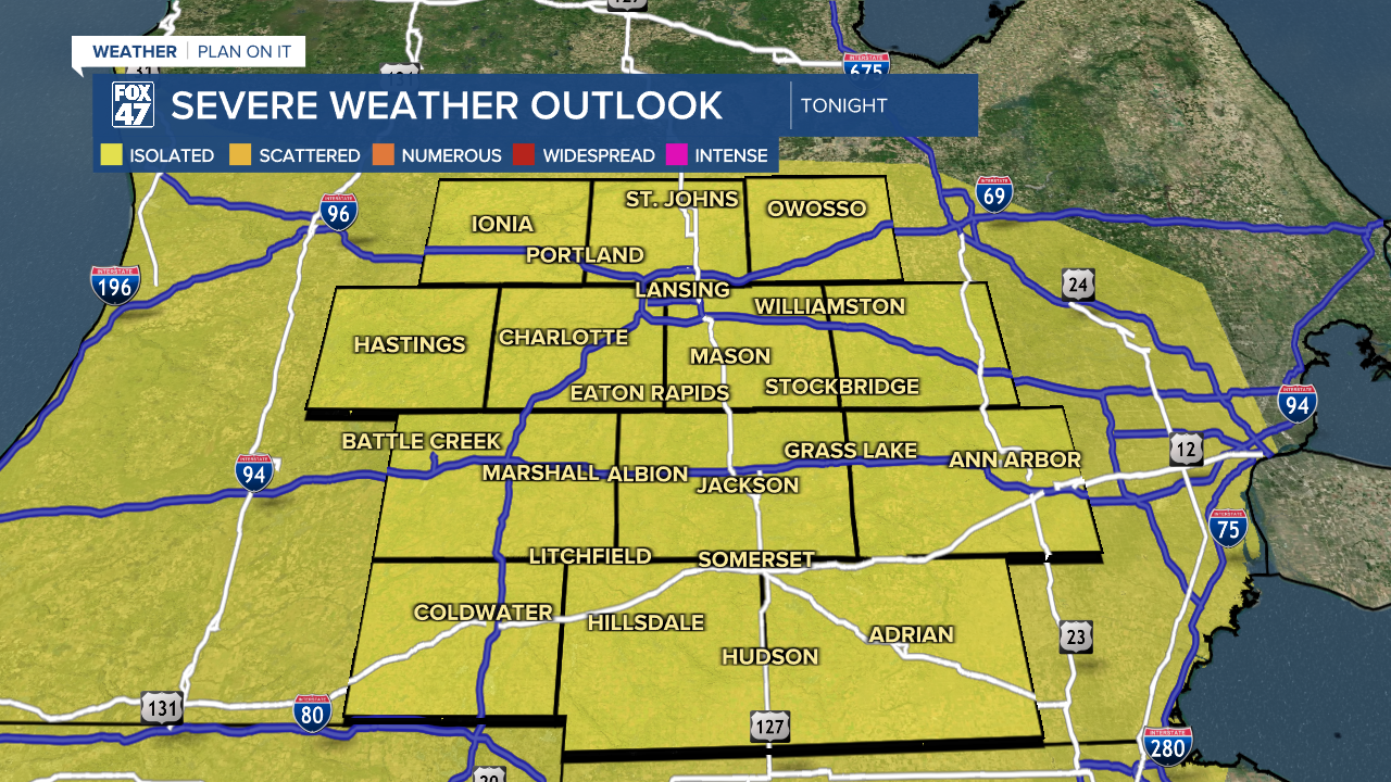
A risk for isolated severe storms remains in place as a cold front approaches from the west. The front is expected to further destabilize the atmosphere overnight, and could lead to a few storms producing damaging winds. This threat will depend on how well storms over Wisconsin hold together as they move east, but are expected to arrive closer to daybreak. Lows tonight will settle into the mid 60s.

The cold front will continue east through our area on Saturday, and will keep the chance for thunderstorms in place. Leftover storms in the morning will clear east before midday, but additional storms will be possible in the afternoon depending on how quickly the front moves through. An earlier passage would limit any afternoon storms, while a slower passage could leave us open to more scattered storms. Either way, an isolated severe weather risk will remain in place, with the chance for more damaging winds. Highs will reach the mid 80s with WSW winds at 10-15 mph outside of any thunderstorms.
Sunday offers up a quieter second half of the weekend, and a break from the muggy conditions, too. Skies will be mostly sunny with highs staying warm in the low 80s.

From there, we pivot toward the hottest weather of the year so far. Highs will jump to the upper 80s by Tuesday and Wednesday, with a big surge in humidity. We'll then see a jump to the low 90s Thursday and Friday, with heat indices likely climbing into the middle and upper 90s. Each day will bring the chance for afternoon thunderstorms, so we may pick up some brief cooling. Otherwise, be prepared to keep cool and hydrated!

Have a great weather picture or video to share? Send it our way and we may feature it on-air or online!

